SUMMARY
This is AI generated summarization, which may have errors. For context, always refer to the full article.
What’s the weather like in your area? Report the situation through Rappler’s Agos or tweet us at @rapplerdotcom.
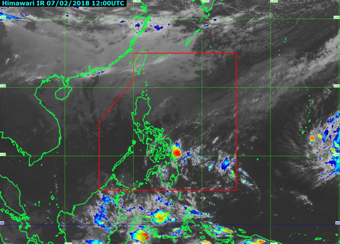
MANILA, Philippines – State weather bureau PAGASA warned the regions of Caraga and Davao to be on alert for possible flash floods and landslides on Thursday, February 8, due to a low pressure area (LPA).
In a bulletin issued 4 pm on Wednesday, February 7, PAGASA said the LPA is already 485 kilometers east of Davao City.
This LPA only has a slim chance of developing into a tropical cyclone. If it does, it would be given the local name Basyang.
The trough or extension of the LPA is expected to bring light to heavy rain to Caraga and Davao on Thursday, which may trigger flash floods and landslides.
The rest of Mindanao will also have localized thunderstorms.
Meanwhile, the northeast monsoon is affecting Luzon and the Visayas. Scattered rainshowers are expected in the regions of Cagayan Valley, Cordillera, Central Luzon, Bicol, and Eastern Visayas, as well as the province of Quezon.
There will also be isolated rainshowers in the rest of Luzon, including Metro Manila, and the rest of the Visayas, but PAGASA said there will be “no significant impact.” (READ: FAST FACTS: Tropical cyclones, rainfall advisories)
PAGASA also warned of rough to very rough seas in Northern Luzon, the eastern part of Central Luzon, Southern Luzon, the Visayas, and Mindanao. Moderate to rough seas are expected in the rest of the country.
– Rappler.com
Add a comment
How does this make you feel?
There are no comments yet. Add your comment to start the conversation.