SUMMARY
This is AI generated summarization, which may have errors. For context, always refer to the full article.
What’s the weather like in your area? Report the situation through Rappler’s Agos or tweet us at @rapplerdotcom.
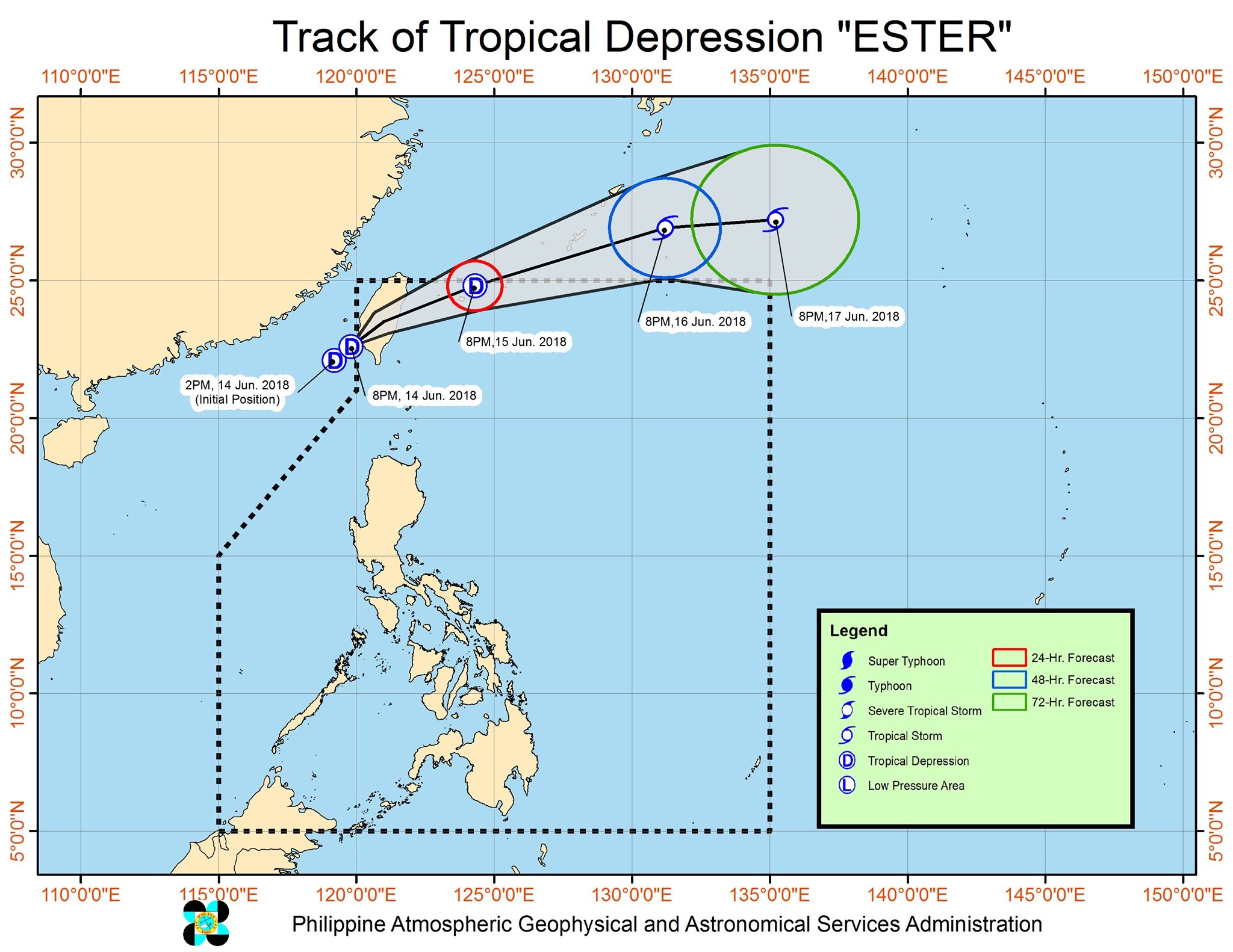
MANILA, Philippines – The tropical depression near Batanes entered the Philippine Area of Responsibility (PAR) at 10 pm on Thursday, June 14, becoming the country’s 5th tropical cyclone for 2018. It has been given the local name Ester.
In a bulletin issued 11 pm on Thursday, state weather bureau PAGASA said Tropical Depression Ester is located 335 kilometers northwest of Basco, Batanes, moving east northeast at 14 kilometers per hour (km/h).
The tropical depression has maximum winds of 55 km/h near the center and gustiness of up to 65 km/h.
Signal number 1 is raised in Batanes. This means the province should expect moderate to heavy rain and winds of 30 to 60 km/h in at least 36 hours. (READ: FAST FACTS: Tropical cyclones, rainfall advisories)
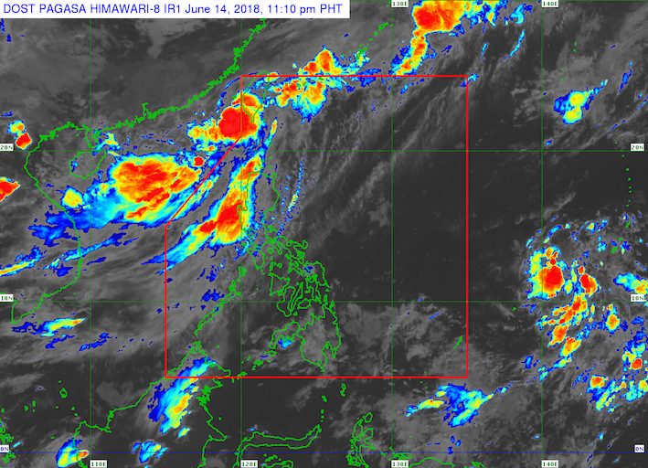
PAGASA said Ester is not expected to make landfall in the Philippines. But it will enhance the southwest monsoon, which has dumped moderate to heavy rain in Luzon all week.
The southwest monsoon enhanced by Ester will trigger moderate to heavy rain in the regions of Ilocos and Cordillera, as well as the provinces of Zambales and Bataan.
It will also bring light to moderate with at times heavy rain to Metro Manila, Tarlac, Pampanga, Bulacan, Cavite, and Batangas until the weekend.
Residents of Batanes as well as areas affected by the enhanced southwest monsoon should be on alert for floods and landslides.
Sea travel is also risky in the seaboards of Northern Luzon and the western seaboard of Central Luzon.
Ester will only stay briefly inside PAR. It will leave either Friday, June 15, or Saturday, June 16.
Meanwhile, the low pressure area (LPA) east of Mindanao that PAGASA was earlier monitoring has already dissipated.
PAGASA had declared the start of the rainy season last June 8. – Rappler.com
Add a comment
How does this make you feel?
There are no comments yet. Add your comment to start the conversation.