SUMMARY
This is AI generated summarization, which may have errors. For context, always refer to the full article.
What’s the weather like in your area? Report the situation through Rappler’s Agos or tweet us at @rapplerdotcom.
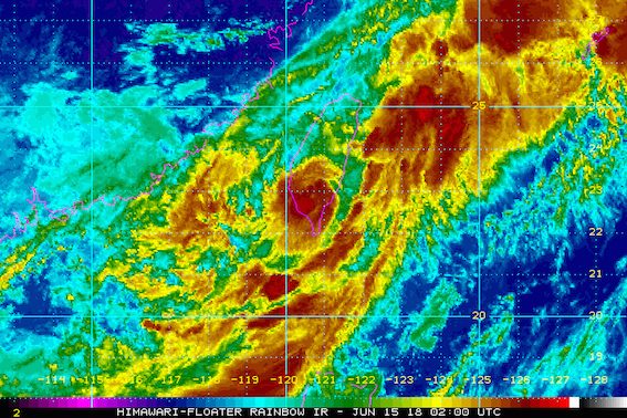
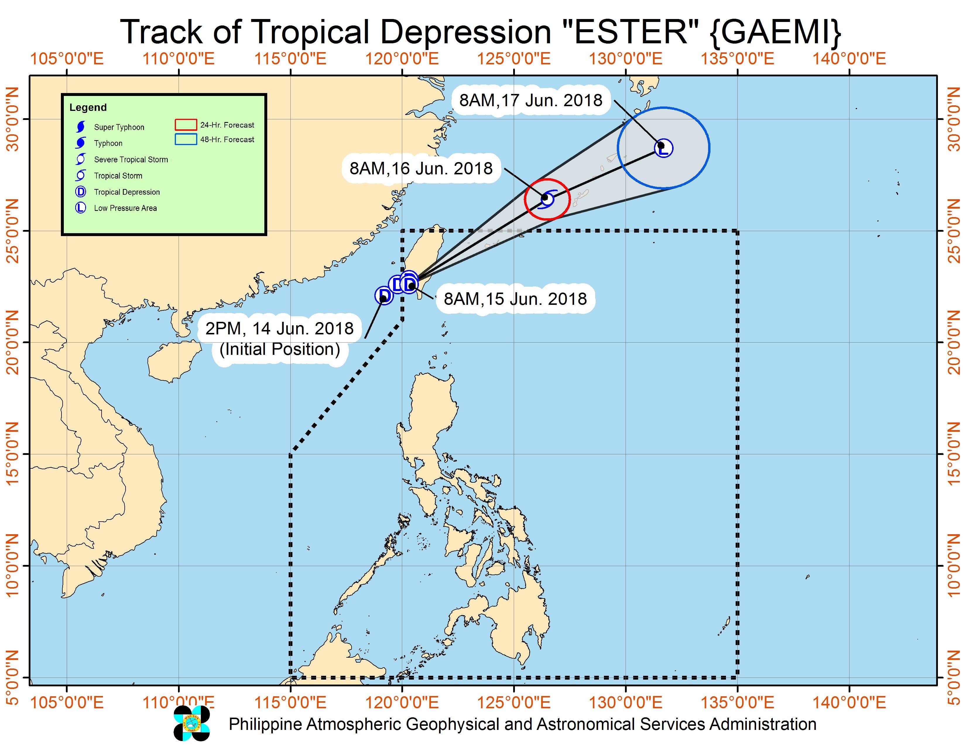
MANILA, Philippines – Tropical Depression Ester slightly intensified on Friday morning, June 15, while hardly moving over the mountainous region of southern Taiwan, which is still within the Philippine Area of Responsibility (PAR). It now has the international name Gaemi.
In a bulletin issued 11 am on Friday, state weather bureau PAGASA said Ester is located 275 kilometers north northwest of Basco, Batanes, almost stationary in that spot.
The tropical depression now has maximum winds of 60 kilometers per hour (km/h) from the previous 55 km/h and gustiness of up to 100 km/h from the previous 90 km/h.
There are no areas under tropical cyclone warning signals, and Ester is not expected to make landfall in the Philippines.
But the tropical depression is enhancing the southwest monsoon, which has dumped moderate to heavy rain in Luzon all week.
The southwest monsoon enhanced by Ester will trigger moderate to heavy rain in the Ilocos Region, the Cordillera Administrative Region, Batanes, the Babuyan Group of Islands, Zambales, and Bataan.
Residents of areas affected by the enhanced southwest monsoon should be on alert for floods and landslides. (READ: FAST FACTS: Tropical cyclones, rainfall advisories)
Sea travel is also risky in the seaboards of Northern Luzon and the western seaboard of Central Luzon.
Based on Ester’s latest forecast track, it will leave PAR either Friday evening or Saturday morning, June 16, staying inside PAR for just roughly a day.
PAGASA had declared the start of the rainy season last June 8.
– Rappler.com
Add a comment
How does this make you feel?
There are no comments yet. Add your comment to start the conversation.