SUMMARY
This is AI generated summarization, which may have errors. For context, always refer to the full article.
What’s the weather like in your area? Report the situation through Rappler’s Agos or tweet us at @rapplerdotcom.
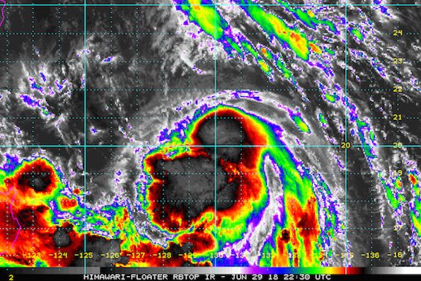
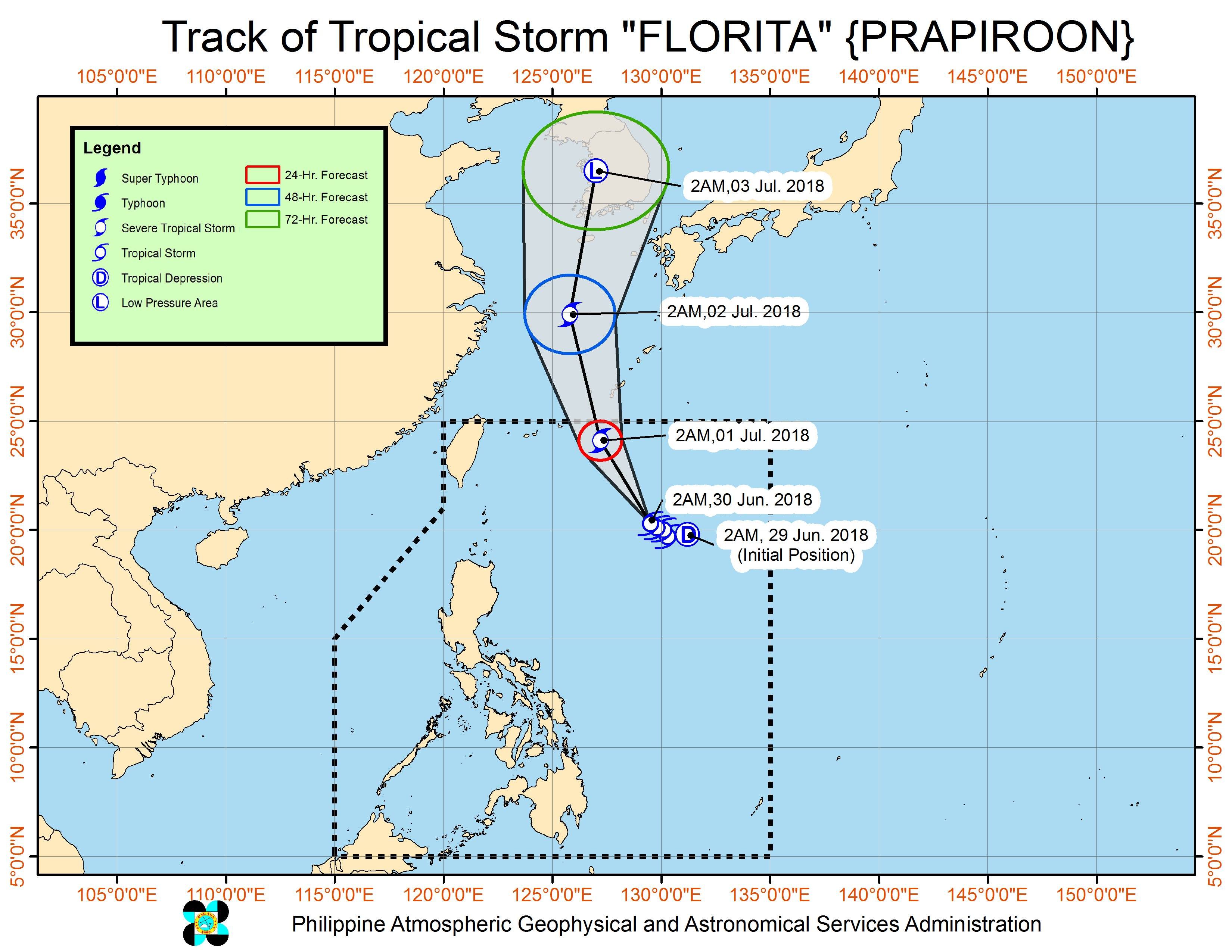
MANILA, Philippines – Tropical Storm Florita (Prapiroon) slightly strengthened and slowed down before dawn on Saturday, June 30, with its trough or elongated region now expected to affect parts of Luzon.
In a bulletin issued 4 am on Saturday, state weather bureau PAGASA said Florita now has maximum winds of 75 kilometers per hour (km/h) from the previous 65 km/h and gustiness of up to 90 km/h from the previous 80 km/h.
The tropical storm is already located 775 kilometers east of Basco, Batanes, moving northwest at an even slower 8 km/h from the previous 12 km/h.
Since its direction is upward, Florita will not make landfall in the Philippines. There are also no areas under tropical cyclone warning signals.
But as it strengthened, the trough or elongated region of the tropical storm is now expected to affect the Ilocos Region, the Cordillera Administrative Region, and Cagayan Valley.
These regions should be on alert for light to heavy rain which may trigger flash floods and landslides on Saturday. (READ: FAST FACTS: Tropical cyclones, rainfall advisories)
Based on its latest forecast track, Florita is expected to leave the Philippine Area of Responsibility (PAR) on Sunday morning, July 1.
Meanwhile, the rest of the country not affected by Florita’s trough will have isolated rainshowers and thunderstorms on Saturday. These could also cause flash floods and landslides.
PAGASA had declared the start of the rainy season last June 8. – Rappler.com
Add a comment
How does this make you feel?
There are no comments yet. Add your comment to start the conversation.