SUMMARY
This is AI generated summarization, which may have errors. For context, always refer to the full article.
What’s the weather like in your area? Report the situation through Rappler’s Agos or tweet us at @rapplerdotcom.
MANILA, Philippines – The southwest monsoon will continue to affect parts of Luzon and the Visayas on Thursday, July 5.
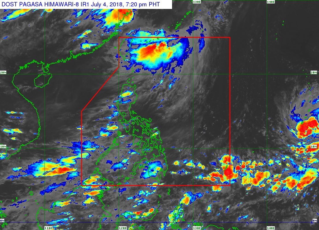
In a bulletin issued 4 pm on Wednesday, July 4, state weather bureau PAGASA said Palawan, Oriental Mindoro, Occidental Mindoro, and Western Visayas will have light to heavy rain. These provinces should be on alert for possible flash floods and landslides.
The rest of the country will also have isolated rainshowers or thunderstorms, which may trigger flash floods and landslides, too. (READ: FAST FACTS: Tropical cyclones, rainfall advisories)
Meanwhile, PAGASA is still monitoring a tropical depression located outside the Philippine Area of Responsibility (PAR).
This tropical depression is already 2,235 kilometers east of the Visayas, slowly moving west northwest.
It has strengthened and now has maximum winds of 60 kilometers per hour (km/h) from the previous 45 km/h and gustiness of up to 75 km/h from the previous 60 km/h.
PAGASA said the tropical depression might enter PAR either on Sunday, July 8, or Monday, July 9. If it does enter PAR, it would be given the local name Gardo.
Further updates on the tropical depression will be given in the coming days.
PAGASA had declared the start of the rainy season last June 8. – Rappler.com
Add a comment
How does this make you feel?
There are no comments yet. Add your comment to start the conversation.