SUMMARY
This is AI generated summarization, which may have errors. For context, always refer to the full article.
What’s the weather like in your area? Report the situation through Rappler’s Agos or tweet us at @rapplerdotcom.
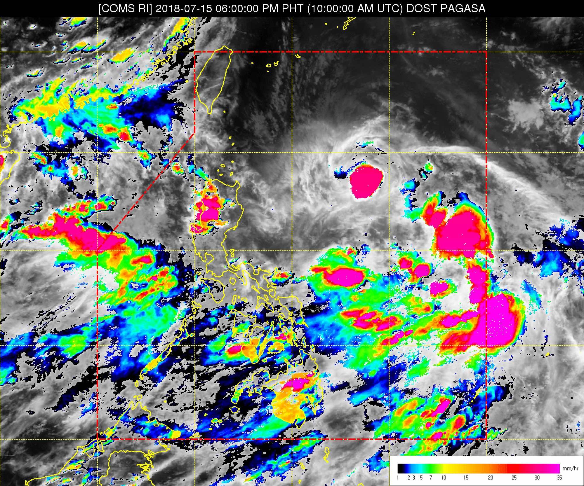
MANILA, Philippines – State weather bureau PAGASA continues to monitor a low pressure area (LPA) which might become a tropical depression.
In a bulletin issued 4 pm on Sunday, July 15, PAGASA said the LPA is already 780 kilometers east of Basco, Batanes.
This LPA could develop into a tropical depression within the next 24 hours. If it does, it would be given the local name Henry, becoming the Philippines’ 8th tropical cyclone for 2018. The country usually gets an average of 20 tropical cyclones per year.
In the meantime, the southwest monsoon is affecting the western part of the Philippines.
PAGASA warned of monsoon rain in Zambales, Bataan, Cavite, Batangas, Oriental Mindoro, Occidental Mindoro, Palawan, and Western Visayas until Monday, July 16.
Scattered rainshowers and thunderstorms will also hit Metro Manila, the rest of Calabarzon, the rest of Central Luzon, Marinduque, and Romblon.
Residents of areas affected by the southwest monsoon should be on alert for possible flash floods and landslides. (READ: FAST FACTS: Tropical cyclones, rainfall advisories)
The rest of the country, meanwhile, will have isolated rainshowers or thunderstorms. Flash floods and landslides are possible, too, especially if the thunderstorms bring heavy rain to low-lying or to mountainous areas.
PAGASA declared the start of the rainy season last June 8. – Rappler.com
Add a comment
How does this make you feel?
There are no comments yet. Add your comment to start the conversation.