SUMMARY
This is AI generated summarization, which may have errors. For context, always refer to the full article.
What’s the weather like in your area? Report the situation through Rappler’s Agos or tweet us at @rapplerdotcom.
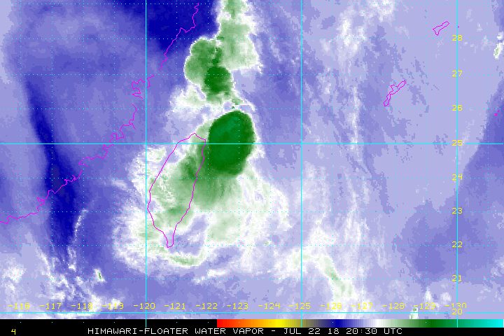
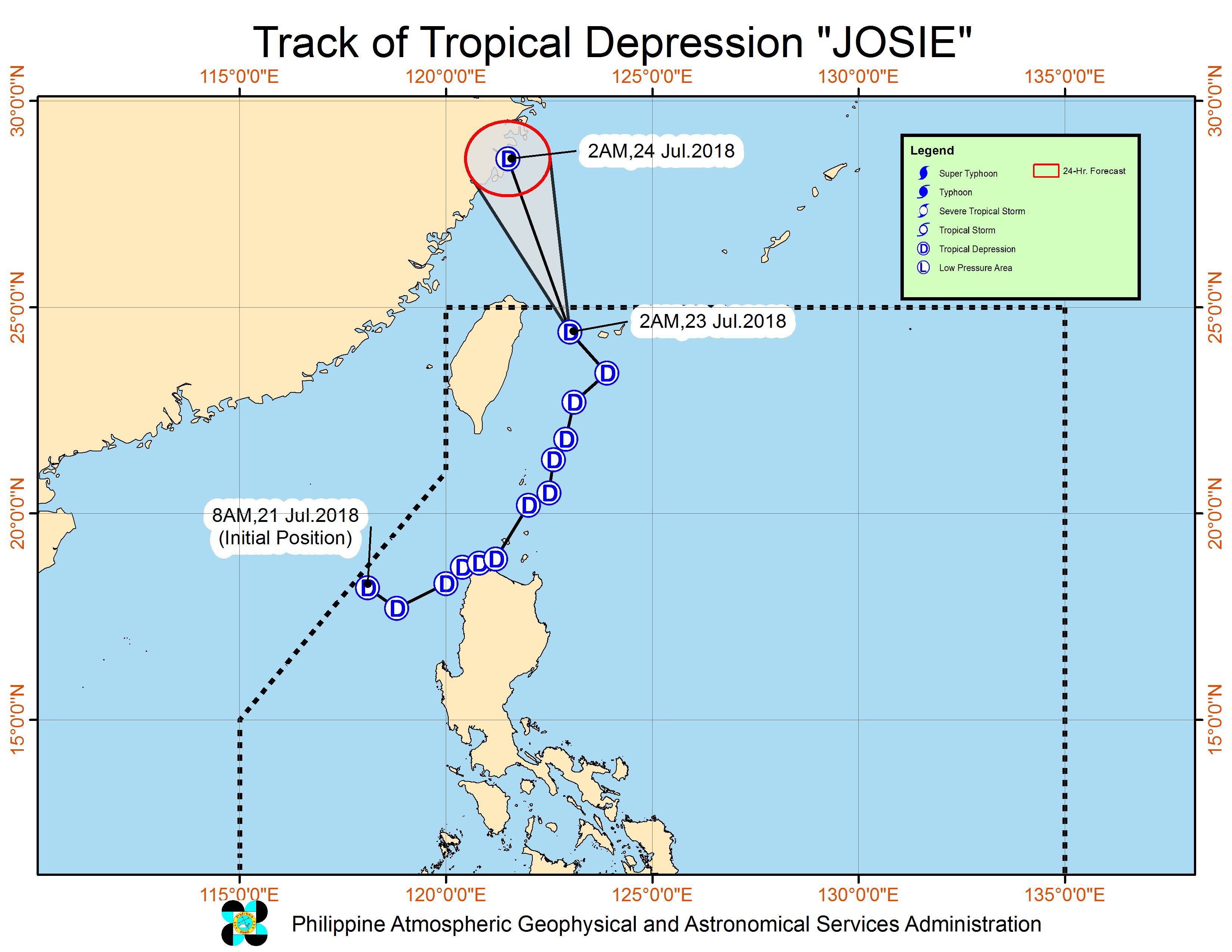
MANILA, Philippines – Tropical Depression Josie was heading for northeastern Taiwan before dawn on Monday, July 23, but it continues to enhance the southwest monsoon or hanging habagat. A low pressure area (LPA) is also being monitored outside the Philippine Area of Responsibility (PAR).
In a bulletin issued 5 am on Monday, state weather bureau PAGASA said Josie is already 475 kilometers north northeast of Basco, Batanes, moving northwest at 20 kilometers per hour (km/h).
The tropical depression still has maximum winds of 55 km/h and gustiness of up to 65 km/h.
While Josie is on its way out of PAR, the enhanced southwest monsoon will still trigger scattered to widespread rain in the Ilocos Region, Zambales, Bataan, Cavite, Batangas, Oriental Mindoro, Occidental Mindoro, Palawan, and Western Visayas.
At 4 am on Monday, PAGASA issued the following color-coded rainfall warnings:
- Bataan and southern Zambales – orange (intense rain, flooding is threatening)
- Pampanga, Cavite, and Batangas – yellow (heavy rain, floods possible in low-lying areas)
The rest of Luzon and the rest of the Visayas will also continue to have occasional rainshowers due to the southwest monsoon. (READ: FAST FACTS: Tropical cyclones, rainfall advisories)
Areas affected by the southwest monsoon should stay on alert for flash floods and landslides. Massive floods have hit various areas in Luzon and forced thousands of people to evacuate.
Some areas suspended classes for Monday. (READ: Volunteer for Agos today)
Based on its latest forecast track, Josie is expected to leave PAR on Monday morning. President Rodrigo Duterte will deliver his 3rd State of the Nation Address (SONA) on Monday afternoon.
Aside from Josie, there’s also the LPA, which is now located 1,230 kilometers east of Southern Luzon. It could enter PAR on Monday, and possibly become a tropical depression within the next 24 to 48 hours. If it intensifies, it would be given the local name Karding.
Josie is the Philippines’ 10th tropical cyclone for 2018, and the potential Karding would be the 11th. The country usually gets an average of 20 tropical cyclones per year. (READ: LIST: PAGASA’s names for tropical cyclones in 2018)
Josie came on the heels of Severe Tropical Storm Inday (Ampil), which left PAR at 1 am on Saturday, July 21. Inday did not make landfall in the Philippines, but it enhanced the southwest monsoon.
PAGASA declared the start of the rainy season last June 8.
– Rappler.com
Despite the bad weather, it’s all systems go for President Rodrigo Duterte’s 3rd State of the Nation Address on Monday, July 23. Check out Rappler’s full coverage of the SONA here and bookmark our live blog for updates.
Add a comment
How does this make you feel?


There are no comments yet. Add your comment to start the conversation.