SUMMARY
This is AI generated summarization, which may have errors. For context, always refer to the full article.
What’s the weather like in your area? Report the situation through Rappler’s Agos or tweet us at @rapplerdotcom.
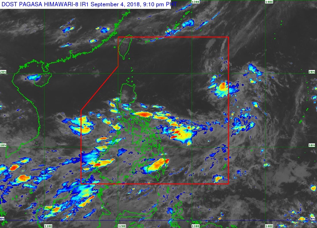
MANILA, Philippines – A low pressure area (LPA) entered the Philippine Area of Responsibility (PAR) on Tuesday evening, September 4.
The Philippine Atmospheric, Geophysical, and Astronomical Services Administration (PAGASA) told Rappler that the LPA entered PAR around 8 pm.
At 3 pm, PAGASA had said the weather system was located 1,470 kilometers east of Northern Luzon.
There is a chance that the LPA would develop into a tropical depression. If it does, it would be named Neneng. (READ: LIST: PAGASA’s names for tropical cyclones in 2018)
So far, the Philippines has had 13 tropical cyclones in 2018. The country usually gets an average of 20 tropical cyclones per year.
Meanwhile, on Wednesday, September 5, the southwest monsoon or hanging habagat is also expected to bring more rain to Southern Luzon, the Visayas, and Mindanao.
Scattered rainshowers and thunderstorms are expected in Calabarzon, Bicol, Mimaropa, the Visayas, the Zamboanga Peninsula, and Northern Mindanao.
Residents of those areas should watch out for flash floods and landslides. (READ: FAST FACTS: Tropical cyclones, rainfall advisories)
The rest of the country, not affected by the southwest monsoon, will only have localized thunderstorms. But flash floods and landslides are also possible if the thunderstorms become severe.
PAGASA declared the start of the rainy season last June 8. – Rappler.com
Add a comment
How does this make you feel?
There are no comments yet. Add your comment to start the conversation.