SUMMARY
This is AI generated summarization, which may have errors. For context, always refer to the full article.
What’s the weather like in your area? Report the situation through Rappler’s Agos or tweet us at @rapplerdotcom.
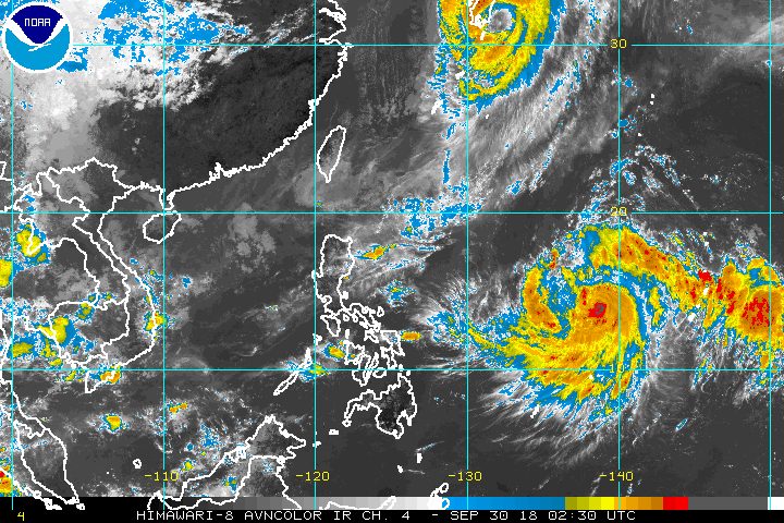
MANILA, Philippines – The tropical storm with the international name Kong-rey intensified into a severe tropical storm outside the Philippine Area of Responsibility (PAR) on Sunday morning, September 30.
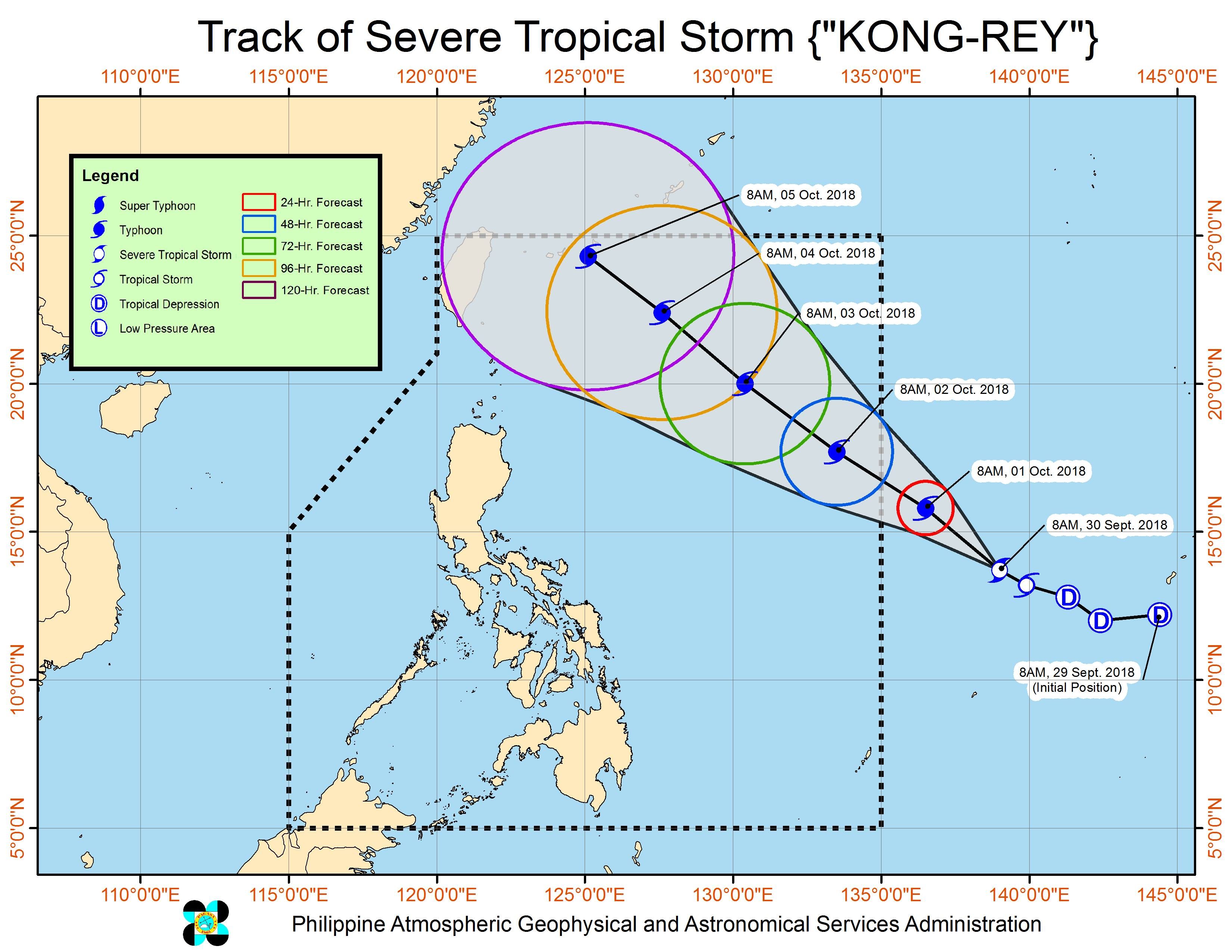
In a bulletin issued 11 am on Sunday, the Philippine Atmospheric, Geophysical, and Astronomical Services Administration (PAGASA) said Severe Tropical Storm Kong-rey now has maximum winds of 100 kilometers per hour (km/h) from the previous 80 km/h and gustiness of up to 120 km/h from the previous 95 km/h.
The severe tropical storm is already 1,445 kilometers east of the Visayas, moving west northwest at 25 km/h. (READ: FAST FACTS: Tropical cyclones, rainfall advisories)
Since Kong-rey is still over water, it could strengthen further into a typhoon.
Based on its latest forecast track, it might enter PAR on Monday evening, October 1, or Tuesday morning, October 2. If it does enter, it would become the Philippines’ 17th tropical cyclone for 2018 and would be given the local name Queenie.
The country usually gets an average of 20 tropical cyclones per year. (READ: LIST: PAGASA’s names for tropical cyclones in 2018)
If the forecast track of Kong-rey or the potential Queenie does not change, then it would be unlikely to make landfall in the Philippines or even come near land.
At 4 am on Sunday, though, PAGASA said the trough or extension of Kong-rey could already bring scattered rainshowers and thunderstorms to Eastern Visayas. Flash floods and landslides are possible if the thunderstorms become severe.
The rest of the country will only have localized thunderstorms on Sunday, mostly in the afternoon or evening. But there could be flash floods and landslides, too, if the thunderstorms bring heavy rain.
PAGASA declared the start of the rainy season last June 8. – Rappler.com
Add a comment
How does this make you feel?
There are no comments yet. Add your comment to start the conversation.