SUMMARY
This is AI generated summarization, which may have errors. For context, always refer to the full article.
What’s the weather like in your area? Report the situation through Rappler’s Agos or tweet us at @rapplerdotcom.
MANILA, Philippines – The intertropical convergence zone (ITCZ) will bring rain to parts of the country on Tuesday, October 16.
The ITCZ is a belt near the equator where the trade winds of the Northern Hemisphere and Southern Hemisphere meet, usually causing low pressure areas or thunderstorms. (READ: FAST FACTS: Tropical cyclones, rainfall advisories)
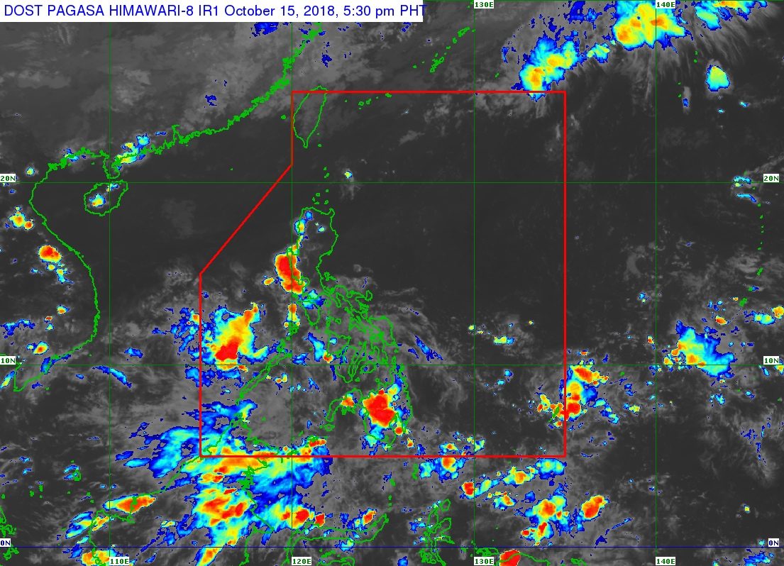
In a bulletin issued 4 pm on Monday, October 15, the Philippine Atmospheric, Geophysical, and Astronomical Services Administration (PAGASA) said the ITCZ is affecting parts of Luzon, the Visayas, and Mindanao.
PAGASA warned there would be scattered rainshowers and thunderstorms in Batangas, Laguna, Quezon, Bicol, Mimaropa, the Visayas, and Mindanao due to the ITCZ. Residents of these areas should be on alert for possible flash floods and landslides, especially if the thunderstorms become severe.
The rest of Luzon will only have localized thunderstorms on Tuesday, mostly in the afternoon or evening. But flash floods and landslides are also possible if the thunderstorms bring heavy rain.
PAGASA is not monitoring any tropical cyclone at the moment, whether inside or outside the Philippine Area of Responsibility.
So far, the Philippines has had 17 tropical cyclones in 2018. The country usually gets an average of 20 tropical cyclones per year. (READ: LIST: PAGASA’s names for tropical cyclones in 2018)
PAGASA declared the start of the rainy season last June 8. – Rappler.com
Add a comment
How does this make you feel?
There are no comments yet. Add your comment to start the conversation.