SUMMARY
This is AI generated summarization, which may have errors. For context, always refer to the full article.
What’s the weather like in your area? Report the situation through Rappler’s Agos or tweet us at @rapplerdotcom.
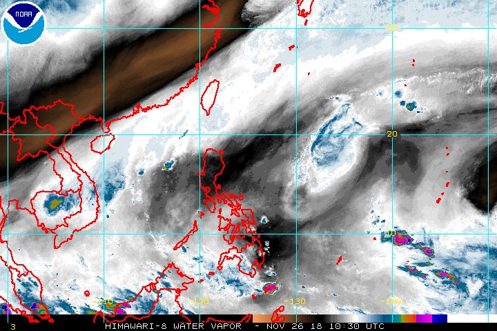
MANILA, Philippines – Tomas (Man-yi) weakened further from a severe tropical storm into a tropical storm on Monday afternoon, November 26, while a frontal system is affecting extreme Northern Luzon.
In a Facebook Live video at 5 pm on Monday, the Philippine Atmospheric, Geophysical, and Astronomical Services Administration (PAGASA) said Tomas is already 1,090 kilometers east of Basco, Batanes.
It is moving northwest at a slightly faster 15 kilometers per hour (km/h) from the previous 10 km/h.
Tomas’ maximum winds are down to 75 km/h, while its gustiness decreased to 90 km/h.
PAGASA Weather Specialist Aldczar Aurelio explained that Tomas continues to weaken due to interaction with cold and dry air from the northeast monsoon or hanging amihan. In the next couple of days, it is likely to become a tropical depression, and then just a low pressure area.
Tomas is still not expected to make landfall in the Philippines.
The tropical storm also has no direct effect on any part of the country, so there are no areas under tropical cyclone warning signals. (READ: FAST FACTS: Tropical cyclones, rainfall advisories)
Based on Tomas’ latest forecast track, it will leave the Philippine Area of Responsibility (PAR) for the second and final time on Wednesday, November 28.
It first left PAR last Saturday morning, November 24, then reentered at 3 am on Monday.
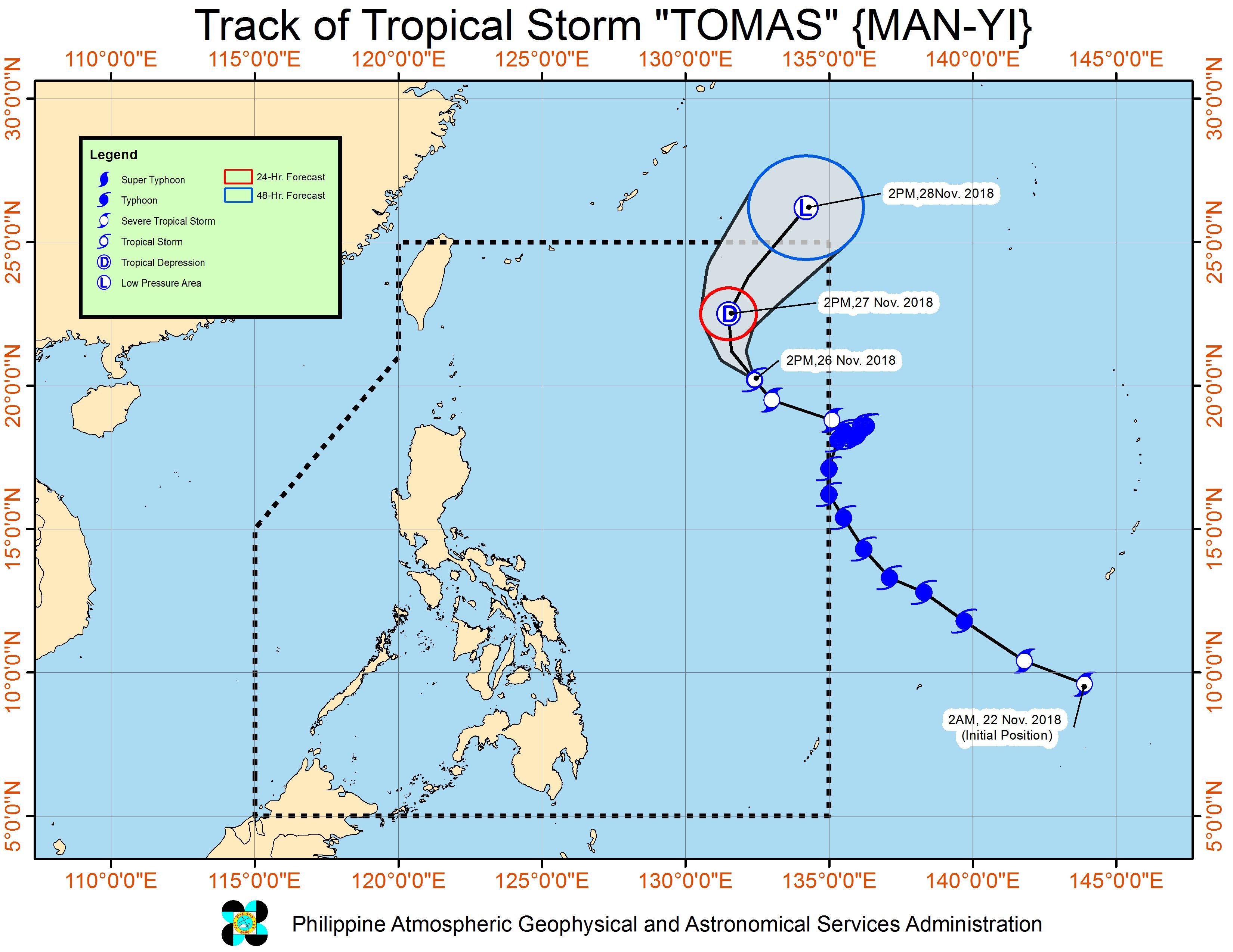
Tomas is the Philippines’ 20th tropical cyclone for 2018. Following Tomas’ entry, the country has already hit the average number of tropical cyclones per year, with over a month still remaining in 2018. (READ: LIST: PAGASA’s names for tropical cyclones in 2018)
Meanwhile, Aurelio explained that a frontal system formed after cold and warm air met.
This is the system expected to bring rainshowers and thunderstorms to Batanes and the Babuyan Group of Islands on Tuesday, November 27. Flash floods and landslides are possible if the thunderstorms become severe.
Isolated light rains are also expected to continue in the Ilocos Region, Cordillera Administrative Region, and Cagayan Valley on Tuesday, due to the northeasterly surface windflow. PAGASA said there will be “no significant impact.”
A gale warning, however, was issued at 5 pm on Monday for Batanes, Calayan, Babuyan, the northern coast of Ilocos Norte, the northern and eastern coasts of Cagayan, Isabela, Aurora, the eastern coast of Quezon including Polillo Island, Camarines Norte, Catanduanes, the eastern coast of Camarines Sur, the eastern coast of Albay, the eastern coast of Sorsogon, Northern Samar, and Eastern Samar, due to the northeasterly surface windflow and Tomas.
Seas off those areas are rough to very rough, with wave heights reaching 2.8 meters to 4.5 meters.
PAGASA advised fishermen and others with small vessels not to set sail in areas covered by the gale warning. Larger vessels should watch out for big waves.
The rest of the country will only have localized thunderstorms on Tuesday.
PAGASA declared the start of the rainy season last June 8. – Rappler.com
Add a comment
How does this make you feel?
There are no comments yet. Add your comment to start the conversation.