SUMMARY
This is AI generated summarization, which may have errors. For context, always refer to the full article.
What’s the weather like in your area? Report the situation through Rappler’s Agos or tweet us at @rapplerdotcom.
MANILA, Philippines – The tail-end of a cold front will affect the eastern part of Mindanao on Thursday, January 17.
A cold front forms when an advancing cold air mass displaces warmer air in its path, causing the displaced warm air to rise, which then leads to the formation of clouds and precipitation.
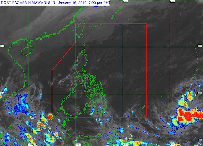
In a briefing past 4 pm on Wednesday, January 16, the Philippine Atmospheric, Geophysical, and Astronomical Services Administration (PAGASA) said there will be scattered rainshowers and thunderstorms in Northern Mindanao, Caraga, and the Davao Region.
The rain, ranging from light to heavy, might trigger flash floods and landslides. (READ: FAST FACTS: Tropical cyclones, rainfall advisories)
Meanwhile, the northeast monsoon or hanging amihan will affect the rest of the country on Thursday.
There will be light rain, but PAGASA does not expect any “significant impact.”
Due to the surge of the northeast monsoon, however, a gale warning was issued at 5 pm on Wednesday for Batanes, Calayan, and Babuyan.
Seas off those areas are rough to very rough, with wave heights reaching 2.8 meters to 4.5 meters.
PAGASA advised fishermen and others with small vessels not to set sail in areas covered by the gale warning. Larger vessels should watch out for big waves.
PAGASA also continues to monitor a low pressure area (LPA) now located 2,585 kilometers east of Mindanao, still outside the Philippine Area of Responsibility (PAR).
At the moment, PAGASA Weather Specialist Ariel Rojas said the LPA only has a slim chance of developing into a tropical depression.
It might enter PAR on Friday evening, January 18, still classified as an LPA.
But if the LPA develops into a tropical depression inside PAR, it would become the Philippines’ first tropical cyclone for 2019 and would be given the local name Amang. (READ: LIST: PAGASA’s names for tropical cyclones in 2019)
The Philippines gets an average of 20 tropical cyclones per year. The forecast for January is zero to one tropical cyclone. – Rappler.com
Add a comment
How does this make you feel?
There are no comments yet. Add your comment to start the conversation.