SUMMARY
This is AI generated summarization, which may have errors. For context, always refer to the full article.
What’s the weather like in your area? Tweet us at @rapplerdotcom.
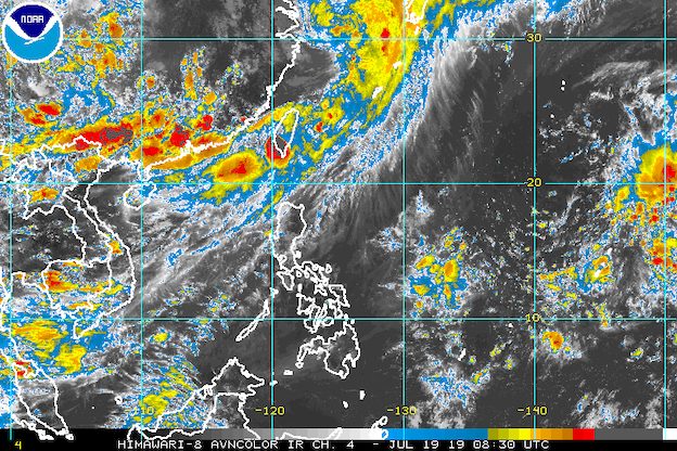
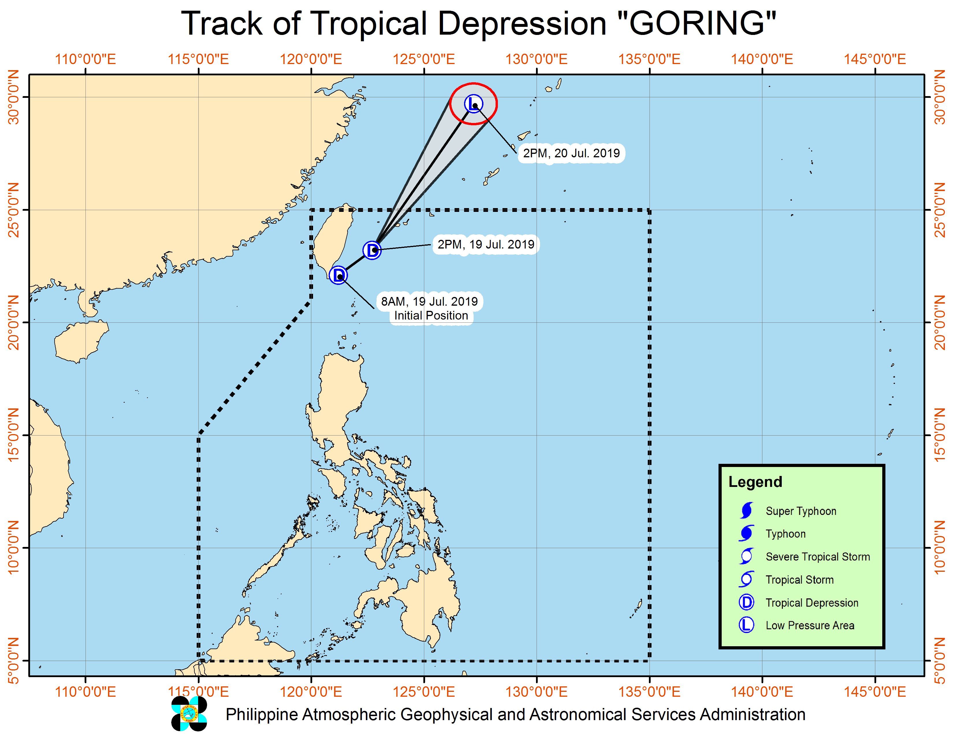
MANILA, Philippines – Tropical Depression Goring maintained its strength as it continued to make its way out of the Philippine Area of Responsibility (PAR) on Friday afternoon, July 19.
In a bulletin issued 5 pm on Friday, the Philippine Atmospheric, Geophysical, and Astronomical Services Administration (PAGASA) said Goring is already 380 kilometers north northeast of Basco, Batanes.
It is still moving northeast at a relatively fast 30 kilometers per hour (km/h).
The tropical depression continues to have maximum winds of 45 km/h and gustiness of up to 60 km/h. (READ: FAST FACTS: Tropical cyclones, rainfall advisories)
Signal No. 1 remains raised in Batanes. PAGASA warned that moderate to heavy rain will persist in the province on Friday.
Goring is also enhancing the southwest monsoon or hanging habagat, which is affecting Luzon.
Light to heavy monsoon rain will continue in the Ilocos Region, Cordillera Administrative Region, Zambales, and Bataan on Friday.
Scattered light to moderate rain due to the southwest monsoon will also be experienced in Metro Manila, Calabarzon, Mimaropa, Cagayan Valley, and the rest of Central Luzon.
Residents of areas affected by Goring and the enhanced southwest monsoon must be on alert for possible flash floods and landslides.
Sea travel also remains risky in Batanes, the seaboards of Northern Luzon, and the western seaboard of Central Luzon.
But Goring is not expected to make landfall in any part of the Philippines. It is likely to leave PAR on Friday evening.
Goring is the Philippines’ 7th tropical cyclone for 2019. It comes just a day after Tropical Storm Falcon (Danas) left PAR. (READ: LIST: PAGASA’s names for tropical cyclones in 2019)
The Philippines gets an average of 20 tropical cyclones annually, but since 2019 is an El Niño year, only 14 to 18 tropical cyclones are expected.
Below is the estimated number of tropical cyclones from July to December:
- July – 2 or 3
- August – 2 to 4
- September – 2 to 4
- October – 2 or 3
- November – 1 or 2
- December – 0 or 1
PAGASA declared the start of the rainy season last June 14. – Rappler.com
Add a comment
How does this make you feel?
There are no comments yet. Add your comment to start the conversation.