SUMMARY
This is AI generated summarization, which may have errors. For context, always refer to the full article.
What’s the weather like in your area? Tweet us at @rapplerdotcom.
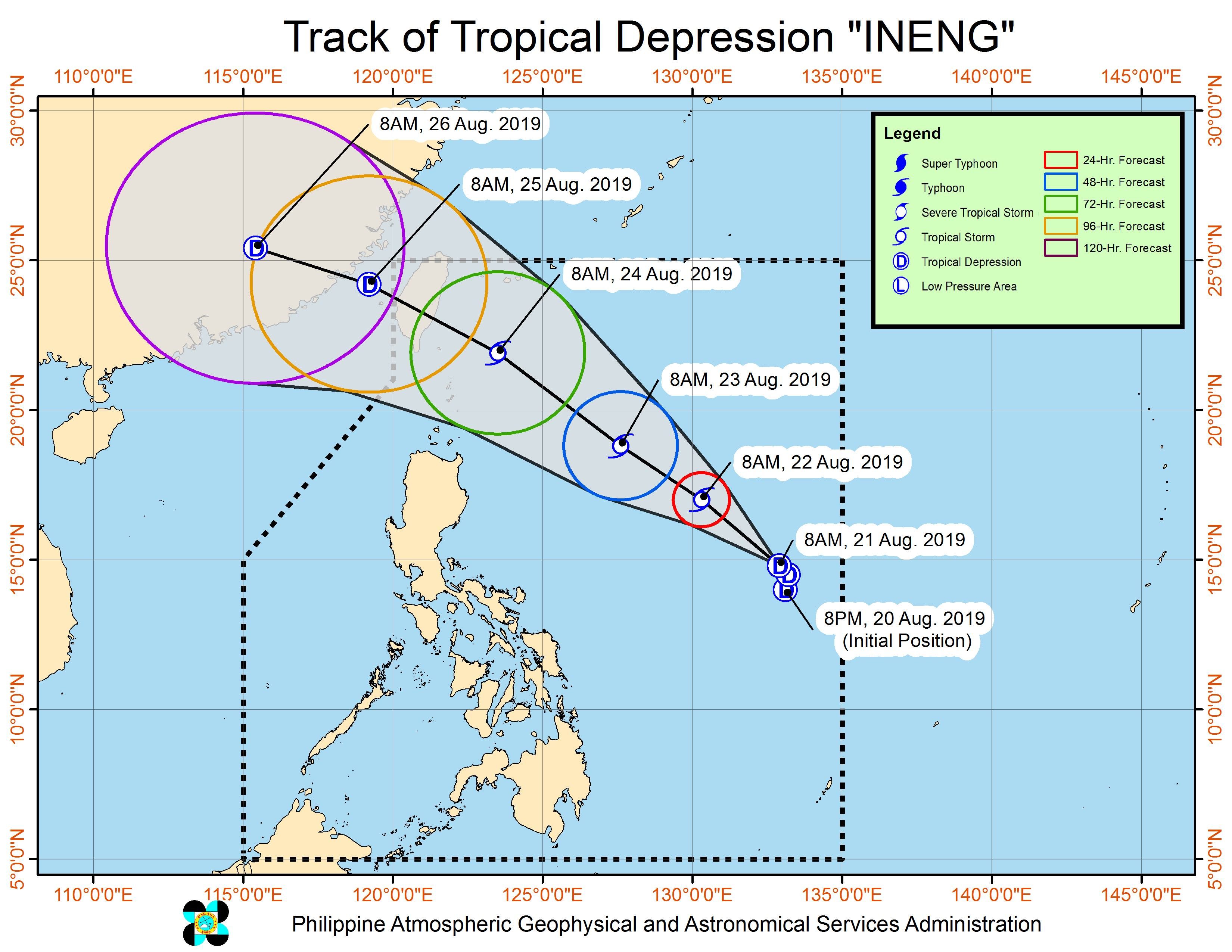
MANILA, Philippines – Tropical Depression Ineng slowed down further on Wednesday morning, August 21, as its outer rainbands began to bring intermittent or scattered rain.
In a bulletin issued 11 am on Wednesday, the Philippine Atmospheric, Geophysical, and Astronomical Services Administration (PAGASA) said Ineng is now 1,155 kilometers east of Infanta, Quezon.
It is slowly moving northwest, even slower than the previous 10 kilometers per hour (km/h).
The tropical depression still has maximum winds of 55 km/h and gustiness of up to 70 km/h. But it is expected to intensify into a tropical storm within 24 hours.
There are no tropical cyclone wind signals raised at the moment, since Ineng remains far from land. It is also unlikely to make landfall.
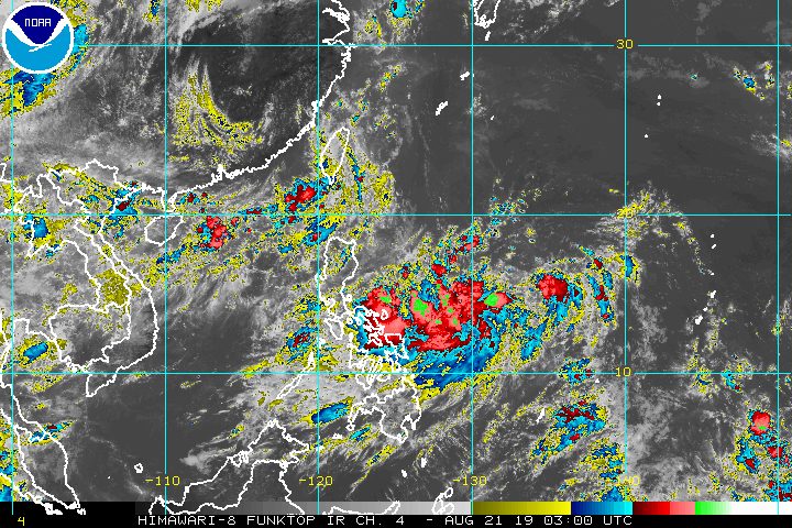
But Ineng’s outer rainbands are affecting Bicol and Eastern Visayas, where light to heavy rain will be experienced at irregular intervals on Wednesday.
Similar conditions will persist in Mimaropa and the rest of the Visayas on Wednesday, but due to the southwest monsoon or hanging habagat.
Batanes and the Babuyan Group of Islands will also have the same weather, due to the trough of a shallow low pressure area (LPA) off the southwestern coast of Taiwan, outside the Philippine Area of Responsibility (PAR). This LPA is unlikely to become a tropical depression, according to PAGASA Weather Specialist Benison Estareja.
PAGASA advised those areas to stay on alert for possible flash floods and landslides. (READ: FAST FACTS: Tropical cyclones, rainfall advisories)
Based on its latest forecast track, Ineng will leave PAR on Sunday, August 25.
Ineng is the Philippines’ 9th tropical cyclone for 2019 and the 2nd for August. (READ: LIST: PAGASA’s names for tropical cyclones in 2019)
The country gets an average of 20 tropical cyclones annually, but since 2019 is an El Niño year, only 14 to 18 tropical cyclones are expected.
Below is the estimated number of tropical cyclones from August to December:
- August – 2 to 4
- September – 2 to 4
- October – 2 or 3
- November – 1 or 2
- December – 0 or 1
PAGASA declared the start of the rainy season last June 14. – Rappler.com
Add a comment
How does this make you feel?
There are no comments yet. Add your comment to start the conversation.