SUMMARY
This is AI generated summarization, which may have errors. For context, always refer to the full article.
What’s the weather like in your area? Tweet us at @rapplerdotcom.
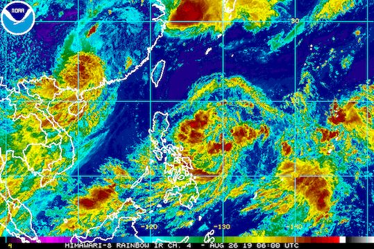
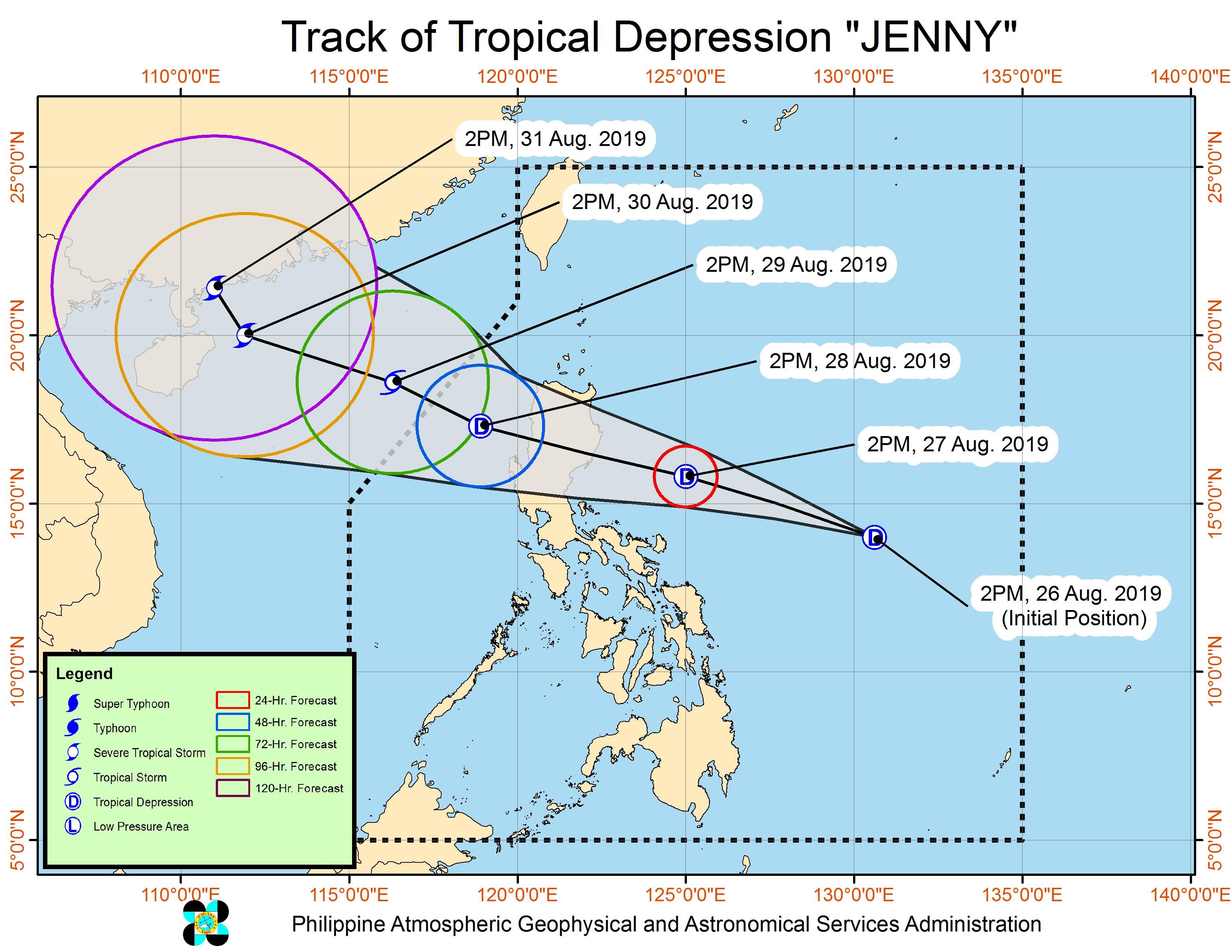
MANILA, Philippines (UPDATED) – The low pressure area (LPA) inside the Philippine Area of Responsibility (PAR) developed into a tropical depression at 2 pm on Monday, August 26. It has been given the local name Jenny.
In a bulletin issued 5 pm on Monday, the Philippine Atmospheric, Geophysical, and Astronomical Services Administration (PAGASA) said Tropical Depression Jenny is 670 kilometers east of Virac, Catanduanes.
It is moving northwest at a relatively fast 25 kilometers per hour (km/h).
The tropical depression has maximum winds of 45 km/h and gustiness of up to 55 km/h. It is expected to remain a tropical depression during its stay inside PAR.
There are now 15 areas in Luzon under a tropical cyclone wind signal.
Signal No. 1 (winds of 30 km/h to 60 km/h)
- Cagayan
- Isabela
- Quirino
- Nueva Vizcaya
- Apayao
- Abra
- Kalinga
- Mountain Province
- Ifugao
- Benguet
- Aurora
- Nueva Ecija
- eastern part of Pangasinan
- northern part of Quezon including Polillo Island
- Catanduanes
Below is the expected rainfall from Jenny.
Monday afternoon, August 26, to Tuesday afternoon, August 27
- Light to heavy rain
- Caraga
- Eastern Visayas
- Bicol
Tuesday afternoon, August 27, to Wednesday afternoon, August 28
- Moderate to heavy rain
- Cagayan
- Isabela
- Nueva Vizcaya
- Quirino
- northern part of Aurora
- Kalinga
- Abra
- Mountain Province
- Ifugao
- Benguet
- Ilocos Sur
- La Union
- Light to heavy rain
- Metro Manila
- Calabarzon
- Mimaropa
- Bicol
- rest of Ilocos Region
- rest of Cordillera Administrative Region
- rest of Cagayan Valley
- rest of Central Luzon
- Western Visayas
- Central Visayas
- Zamboanga Peninsula
Jenny is expected to make landfall in Northern Luzon – possibly in the Isabela-Aurora area – between Tuesday evening, August 27, and Wednesday morning, August 28. The exact area of landfall is still uncertain since the tropical depression remains far from land.
PAGASA warned that Jenny could trigger flash floods and landslides. (READ: FAST FACTS: Tropical cyclones, rainfall advisories)
Travel is also risky in the seaboards of areas under Signal No. 1.
Based on its latest forecast track, Jenny will leave PAR on Thursday, August 29.
Jenny is the Philippines’ 10th tropical cyclone for 2019, and the 3rd for August. (READ: LIST: PAGASA’s names for tropical cyclones in 2019)
The country gets an average of 20 tropical cyclones annually, but since 2019 is an El Niño year, only 14 to 18 tropical cyclones are expected.
Below is the estimated number of tropical cyclones from August to December:
- August – 2 to 4
- September – 2 to 4
- October – 2 or 3
- November – 1 or 2
- December – 0 or 1
PAGASA declared the start of the rainy season last June 14. – Rappler.com
Add a comment
How does this make you feel?
There are no comments yet. Add your comment to start the conversation.