SUMMARY
This is AI generated summarization, which may have errors. For context, always refer to the full article.
What’s the weather like in your area? Tweet us at @rapplerdotcom.
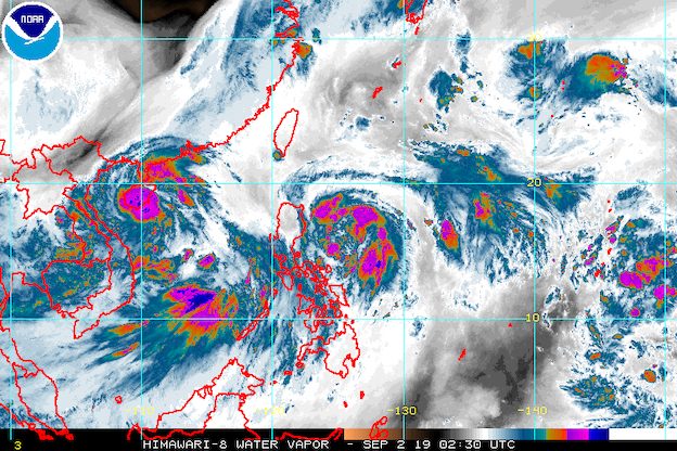
MANILA, Philippines – Liwayway intensified from a tropical depression into a tropical storm at 8 am on Monday, September 2. It has been given the international name Lingling, a contribution from Hong Kong to the World Meteorological Organization’s list and a popular name for young girls.
In a briefing past 11 am on Monday, the Philippine Atmospheric, Geophysical, and Astronomical Services Administration (PAGASA) said Tropical Storm Liwayway (Lingling) now has maximum winds of 65 kilometers per hour (km/h) from the previous 55 km/h, and gustiness of up to 80 km/h from the previous 70 km/h.
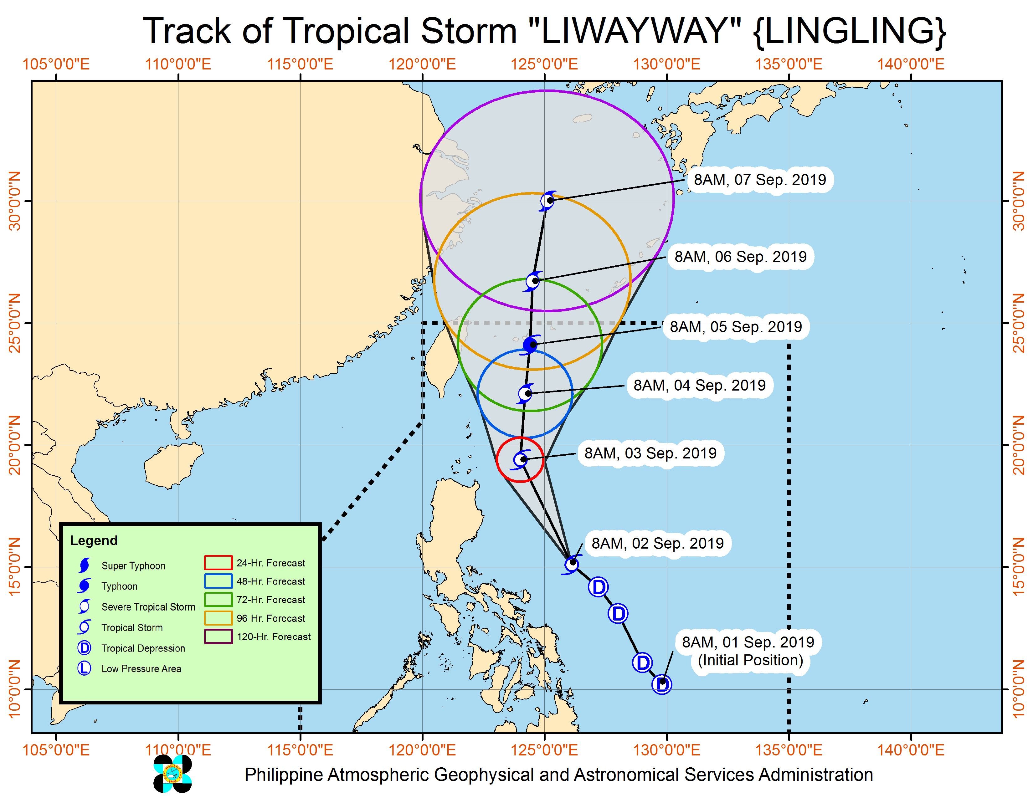
It is expected to strengthen further into a severe tropical storm and then into a typhoon while inside the Philippine Area of Responsibility (PAR).
Liwayway is now 340 kilometers east northeast of Daet, Camarines Norte, or 455 kilometers east of Baler, Aurora. It is moving northwest at 25 km/h.
There are no tropical cyclone wind signals due to Liwayway at the moment, and it is unlikely to make landfall.
But Liwayway’s trough or extension is bringing light to heavy rain to the following areas from Monday until Tuesday morning, September 3:
- Bicol
- Cagayan including Babuyan Group of Islands
- Batanes
Aside from the tropical storm, the southwest monsoon or hanging habagat is also a source of rain.
The southwest monsoon will continue to trigger light to heavy rain in these areas:
- Zambales
- Bataan
- Occidental Mindoro
- Palawan
- Western Visayas
PAGASA warned that flash floods and landslides are possible in areas affected by Liwayway’s trough and the southwest monsoon. (READ: FAST FACTS: Tropical cyclones, rainfall advisories)
Travel is also risky in the seaboards of Luzon and the eastern seaboard of the Visayas.
The rest of the country, not affected by either Liwayway’s trough or the southwest monsoon, will only have isolated rainshowers or localized thunderstorms.
Based on Liwayway’s latest forecast track, it will leave PAR on Thursday, September 5.
Liwayway is the Philippines’ 12th tropical cyclone for 2019, and the 2nd for September. (READ: LIST: PAGASA’s names for tropical cyclones in 2019)
The country gets an average of 20 tropical cyclones annually, but since 2019 is an El Niño year, only 14 to 18 tropical cyclones are expected.
Below is the estimated number of tropical cyclones from September to December:
- September – 2 to 4
- October – 2 or 3
- November – 1 or 2
- December – 0 or 1
PAGASA declared the start of the rainy season last June 14. – Rappler.com
Add a comment
How does this make you feel?
There are no comments yet. Add your comment to start the conversation.