SUMMARY
This is AI generated summarization, which may have errors. For context, always refer to the full article.
What’s the weather like in your area? Tweet us at @rapplerdotcom.
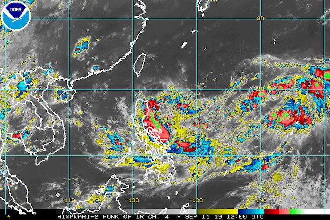
MANILA, Philippines – The tropical depression outside the Philippine Area of Responsibility (PAR) accelerated on Wednesday afternoon, September 11, with its trough or extension already affecting Southern Luzon and the Visayas.
In a briefing past 5 pm on Wednesday, the Philippine Atmospheric, Geophysical, and Astronomical Services Administration (PAGASA) said the tropical depression is already 1,620 kilometers east of Southern Luzon.
It is now moving northeast at 25 kilometers per hour (km/h) from the previous 15 km/h. (READ: FAST FACTS: Tropical cyclones, rainfall advisories)
The tropical depression still has maximum winds of 55 km/h and gustiness of up to 70 km/h. But it might intensify into a tropical storm before entering PAR possibly on Thursday, September 12.
When it enters PAR, it will be given the local name Marilyn. (READ: LIST: PAGASA’s names for tropical cyclones in 2019)
Due to the tropical depression’s trough, scattered to widespread rainshowers and thunderstorms are seen in the following areas in the next 24 hours:
- Bicol
- Mimaropa
- Aurora
- Quezon
- Batangas
- Visayas
The rest of the country, not affected by any weather system, only have isolated rainshowers or localized thunderstorms.
The Philippines has had 12 tropical cyclones in 2019, with 2 of those in September.
The country gets an average of 20 tropical cyclones annually, but since 2019 is an El Niño year, only 14 to 18 tropical cyclones are expected.
Below is the estimated number of tropical cyclones from September to December:
- September – 2 to 4
- October – 2 or 3
- November – 1 or 2
- December – 0 or 1
PAGASA declared the start of the rainy season last June 14. – Rappler.com
Add a comment
How does this make you feel?
There are no comments yet. Add your comment to start the conversation.