SUMMARY
This is AI generated summarization, which may have errors. For context, always refer to the full article.
What’s the weather like in your area? Tweet us at @rapplerdotcom.
MANILA, Philippines – Tropical Depression Marilyn maintained its strength before dawn on Friday, September 13, with rain expected from it and the southwest monsoon or hanging habagat.
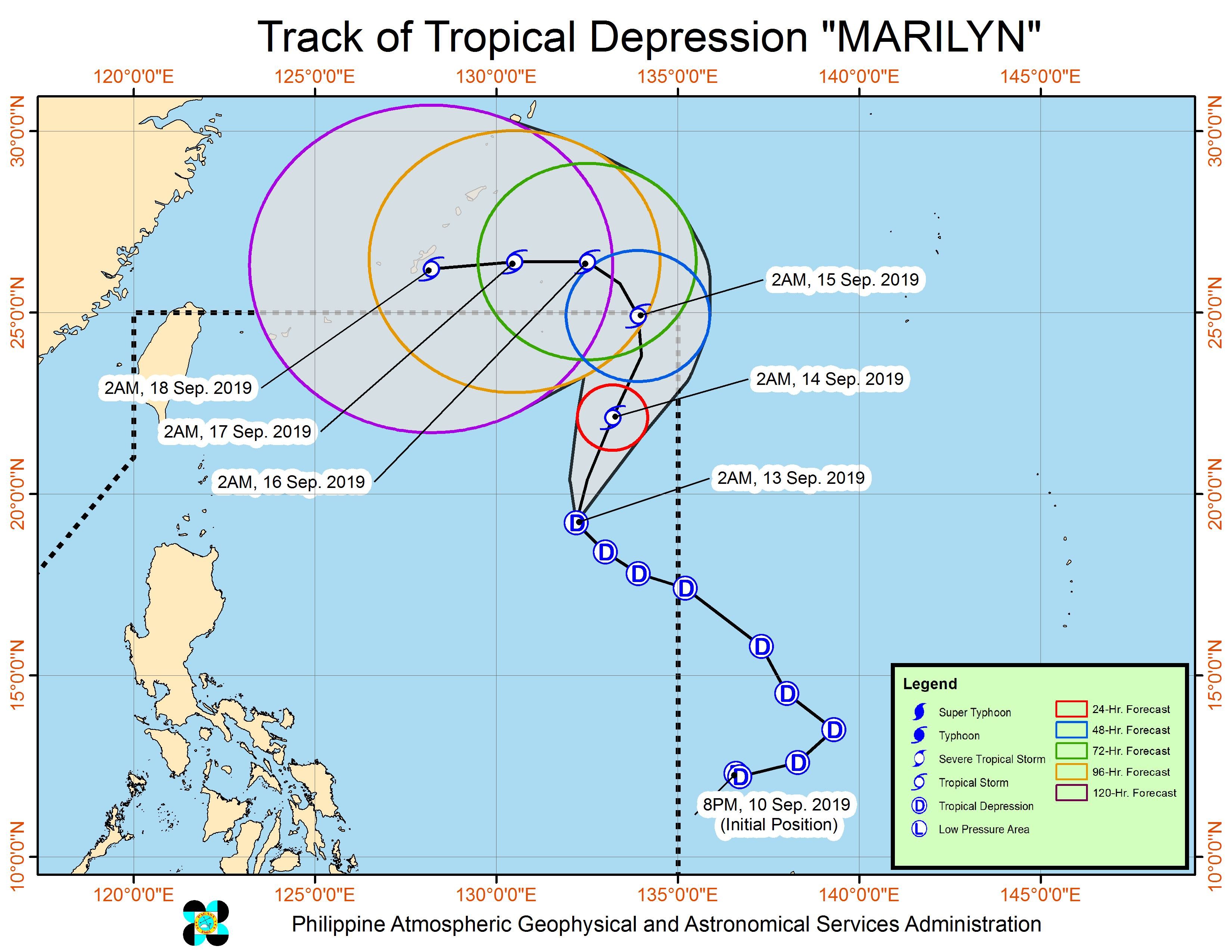
In a briefing at 5 am on Friday, the Philippine Atmospheric, Geophysical, and Astronomical Services Administration (PAGASA) said Marilyn is already 1,060 kilometers east of Basco, Batanes.
It continues to move northwest at 20 kilometers per hour (km/h).
The tropical depression still has maximum winds of 55 km/h and gustiness of up to 70 km/h. But it could intensify into a tropical storm within 36 hours, while inside the Philippine Area of Responsibility (PAR).
There are no areas under tropical cyclone wind signals and Marilyn is unlikely to make landfall. However, it has a very broad circulation.
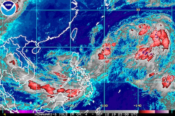
“Mapapansin pa rin natin sa ating satellite imagery ang napakalaking sirkulasyon nitong bagyo…. Nagsisimula na po ring humila ng ating southwest monsoon or hanging habagat itong si Marilyn, at ito’y magpapaulan dito sa may Palawan, Western Visayas, Zamboanga Peninsula, at sa may Sulu archipelago,” said PAGASA Weather Specialist Ariel Rojas in the briefing.
(We can see in our satellite imagery that the tropical depression has a very broad circulation…. Marilyn is also starting to pull the southwest monsoon or hanging habagat, which will be bringing rain to Palawan, Western Visayas, the Zamboanga Peninsula, and the Sulu archipelago.)
Aside from those areas, other parts of the country could see moderate to heavy rain as well. Rojas said these include:
- Pangasinan
- La Union
- Benguet
- Quirino
- Aurora
- Nueva Vizcaya
- northern part of Nueva Ecija
Flash floods and landslides are possible during periods of heavy rain. (READ: FAST FACTS: Tropical cyclones, rainfall advisories)
Elsewhere in the country, scattered rainshowers and thunderstorms may persist, according to PAGASA.
Classes were suspended in some areas on Friday. (READ: #WalangPasok: Class suspensions, Friday, September 13, 2019)
Travel remains risky in the central and eastern seaboards of the Visayas and the seaboards of Mindanao.
Based on Marilyn’s latest forecast track, it will leave PAR on Sunday, September 15.
Marilyn is the Philippines’ 13th tropical cyclone for 2019, and the 3rd in September. (READ: LIST: PAGASA’s names for tropical cyclones in 2019)
The country gets an average of 20 tropical cyclones annually, but since 2019 is an El Niño year, only 14 to 18 tropical cyclones are expected.
Below is the estimated number of tropical cyclones from September to December:
- September – 2 to 4
- October – 2 or 3
- November – 1 or 2
- December – 0 or 1
PAGASA declared the start of the rainy season last June 14. – Rappler.com
Add a comment
How does this make you feel?
There are no comments yet. Add your comment to start the conversation.