SUMMARY
This is AI generated summarization, which may have errors. For context, always refer to the full article.
What’s the weather like in your area? Tweet us at @rapplerdotcom.
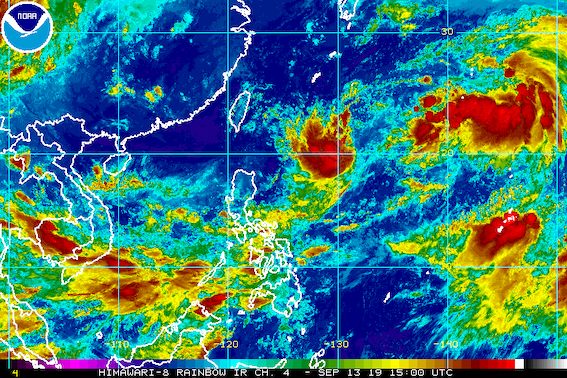
MANILA, Philippines – Tropical Depression Marilyn maintained its strength on Friday evening, September 13.
In a briefing past 11 pm on Friday, the Philippine Atmospheric, Geophysical, and Astronomical Services Administration (PAGASA) said Marilyn is already 1,130 kilometers east of Basco, Batanes.
It is now moving north northeast at 10 kilometers per hour (km/h), after being almost stationary or hardly moving on Friday afternoon.
The tropical depression still has maximum winds of 55 km/h and gustiness of up to 70 km/h. But it could intensify into a tropical storm while inside the Philippine Area of Responsibility (PAR), then weaken into a tropical depression again.
There are no areas under tropical cyclone wind signals and Marilyn is unlikely to make landfall.
But PAGASA Weather Specialist Meno Mendoza said the tropical depression is still pulling the southwest monsoon or hanging habagat, which will continue to bring rain.
Here’s the latest on the expected rainfall:
Friday night, September 13, until Saturday night, September 14
- Light to moderate rain, with at times heavy rain
- Metro Manila
- Aurora
- Calabarzon
- Bicol
- Mimaropa
- Western Visayas
- Zamboanga Peninsula
Residents of those areas must stay on alert for possible flash floods and landslides. (READ: FAST FACTS: Tropical cyclones, rainfall advisories)
PAGASA also warned that travel is risky in the western seaboard of Southern Luzon and the seaboards of the Visayas and Mindanao, especially for small vessels.
Marilyn was initially projected to leave PAR on Sunday, September 15. But its latest forecast track shows it might stay longer inside – until next week – since it could curve toward Taiwan, which is within PAR.

Marilyn is the Philippines’ 13th tropical cyclone for 2019, and the 3rd in September. (READ: LIST: PAGASA’s names for tropical cyclones in 2019)
The country gets an average of 20 tropical cyclones annually, but since 2019 is an El Niño year, only 14 to 18 tropical cyclones are expected.
Below is the estimated number of tropical cyclones from September to December:
- September – 2 to 4
- October – 2 or 3
- November – 1 or 2
- December – 0 or 1
PAGASA declared the start of the rainy season last June 14. – Rappler.com
Add a comment
How does this make you feel?
There are no comments yet. Add your comment to start the conversation.