SUMMARY
This is AI generated summarization, which may have errors. For context, always refer to the full article.
What’s the weather like in your area? Tweet us at @rapplerdotcom.
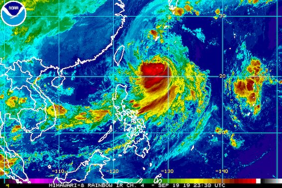
MANILA, Philippines – Tropical Storm Nimfa (Tapah) slightly strengthened and accelerated before dawn on Friday, September 20, as the southwest monsoon or hanging habagat was again bringing rain.
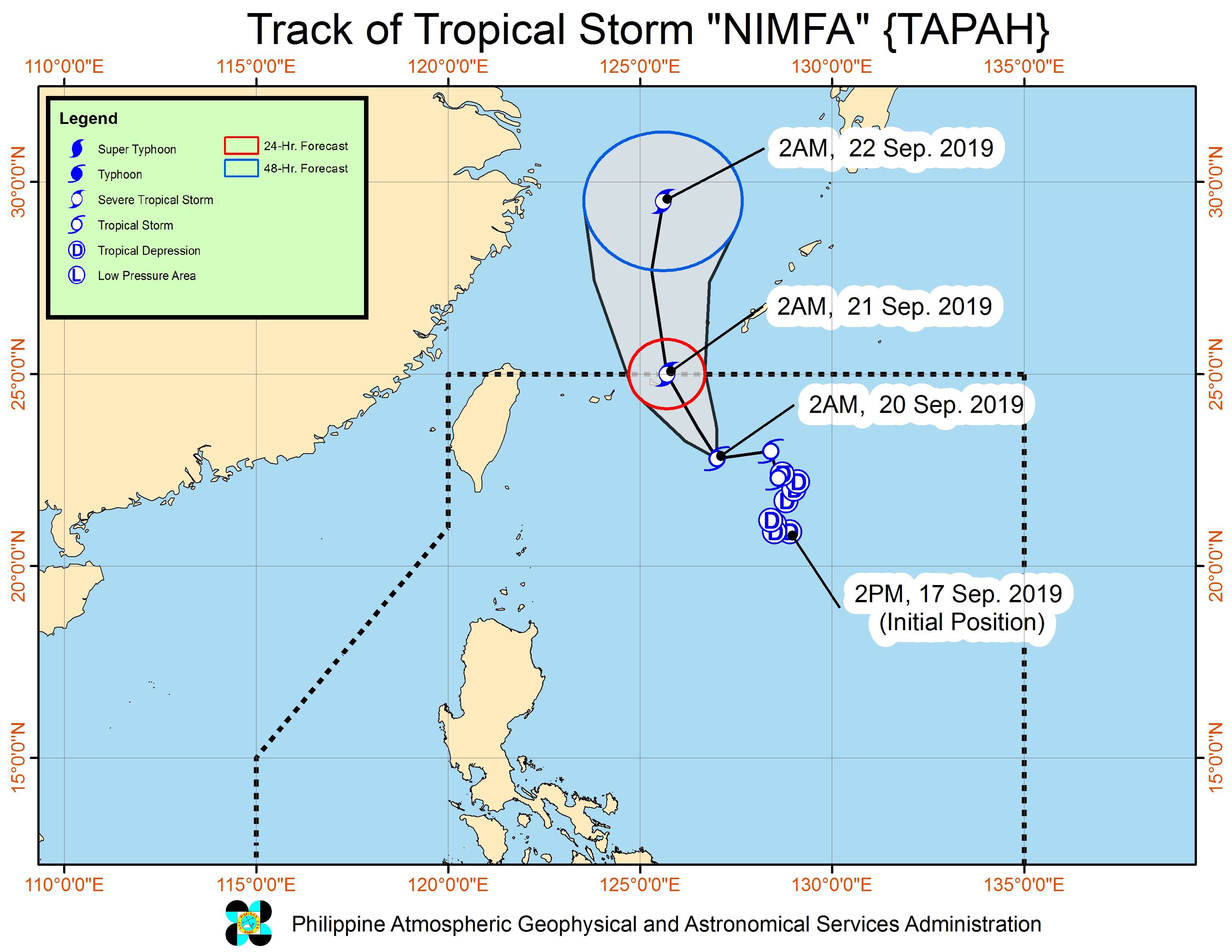
In a briefing at 5 am on Friday, the Philippine Atmospheric, Geophysical, and Astronomical Services Administration (PAGASA) said Nimfa is already 580 kilometers east northeast of Basco, Batanes.
The tropical storm is now moving west at 25 kilometers per hour (km/h) from the previous 15 km/h.
It now has maximum winds of 75 km/h from the previous 65 km/h and gustiness of up to 90 km/h from the previous 80 km/h.
Nimfa is not expected to make landfall in the country, and there are no areas under tropical cyclone wind signals. Its trough or extension is no longer seen to bring rain on Friday as well.
What will continue to trigger rain in Luzon is the southwest monsoon.
- Monsoon rain, may be moderate to heavy
- Calabarzon
- Occidental Mindoro
- Oriental Mindoro
- Marinduque
- Romblon
- Occasional rain
- Metro Manila
- Central Luzon
- Scattered rainshowers and thunderstorms
- rest of Luzon
Luzon residents must stay on alert for possible flash floods and landslides, especially if the rain becomes heavy. (READ: FAST FACTS: Tropical cyclones, rainfall advisories)
Classes were suspended in some areas for Friday. (READ: #WalangPasok: Class suspensions, Friday, September 20, 2019)
Travel also remains risky in the seaboards of Northern Luzon and Central Luzon as well as the eastern seaboard of Southern Luzon due to rough to very rough sea conditions.
Based on Nimfa’s latest forecast track, it will leave the Philippine Area of Responsibility on Saturday morning, September 21.
Nimfa is the Philippines’ 14th tropical cyclone for 2019, and the 4th in September. (READ: LIST: PAGASA’s names for tropical cyclones in 2019)
The country gets an average of 20 tropical cyclones annually, but since 2019 is an El Niño year, only 14 to 18 tropical cyclones are expected.
Below is the estimated number of tropical cyclones from September to December:
- September – 2 to 4
- October – 2 or 3
- November – 1 or 2
- December – 0 or 1
PAGASA declared the start of the rainy season last June 14. – Rappler.com
Add a comment
How does this make you feel?
There are no comments yet. Add your comment to start the conversation.