SUMMARY
This is AI generated summarization, which may have errors. For context, always refer to the full article.
What’s the weather like in your area? Tweet us at @rapplerdotcom.
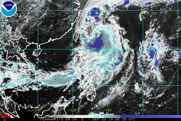
MANILA, Philippines – Nimfa intensified from a tropical storm into a severe tropical storm at 2 pm on Friday, September 20, less than a day before its expected exit from the Philippine Area of Responsibility (PAR).
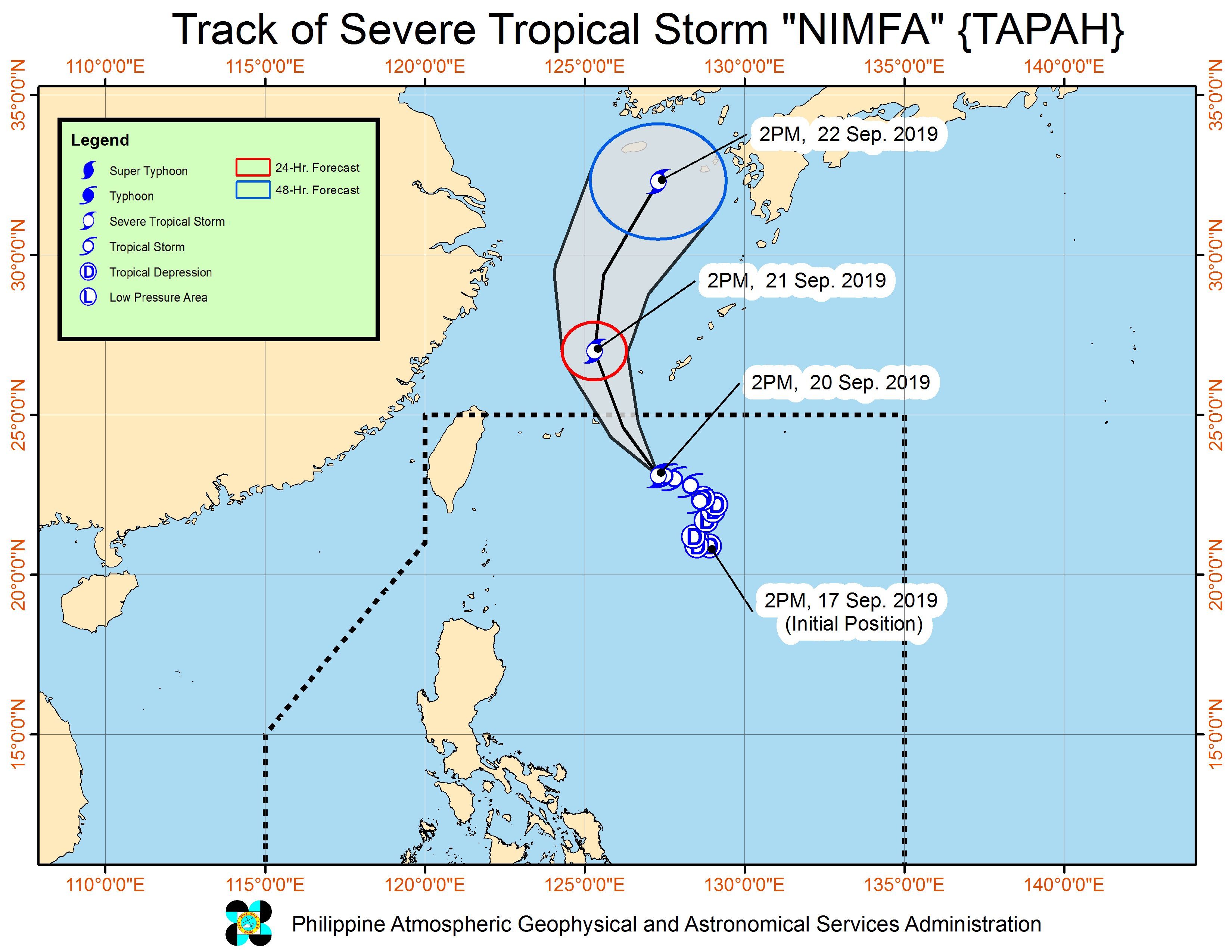
In a bulletin issued 5 pm on Friday, the Philippine Atmospheric, Geophysical, and Astronomical Services Administration (PAGASA) said Severe Tropical Storm Nimfa (Tapah) is already 630 kilometers east northeast of Basco, Batanes, almost stationary or hardly moving.
It now has maximum winds of 95 kilometers per hour (km/h) from the previous 75 km/h and gustiness of up to 115 km/h from the previous 90 km/h. PAGASA said it is likely to strengthen further.
Nimfa is not expected to make landfall in the country, and there are no areas under tropical cyclone wind signals. But its trough or extension earlier brought rain to some areas.
What continues to trigger rain is the southwest monsoon or hanging habagat, which is still affecting Luzon. Below is the latest on the expected rainfall.
Friday, September 20, until Saturday afternoon, September 21
- Occasional light to moderate rain with intermittent heavy rain
- Zambales
- Bataan
- Occidental Mindoro
- Calamian Islands
- Intermittent light to moderate rain with scattered heavy rainshowers
- Metro Manila
- Ilocos Region
- Cordillera Administrative Region
- Calabarzon
- Marinduque
- Oriental Mindoro
- Camarines Norte
- Camarines Sur
- rest of Central Luzon
- northern part of Palawan
PAGASA advised residents of affected areas to stay on alert for possible flash floods and landslides. (READ: FAST FACTS: Tropical cyclones, rainfall advisories)
Travel also remains risky in the seaboards of Northern Luzon and Central Luzon as well as the eastern seaboard of Southern Luzon due to rough to very rough sea conditions. The other seaboards of the country will remain moderate to rough, said PAGASA.
Based on Nimfa’s latest forecast track, it will leave PAR on Saturday morning, September 21.
Nimfa is the Philippines’ 14th tropical cyclone for 2019, and the 4th in September. (READ: LIST: PAGASA’s names for tropical cyclones in 2019)
The country gets an average of 20 tropical cyclones annually, but since 2019 is an El Niño year, only 14 to 18 tropical cyclones are expected.
Below is the estimated number of tropical cyclones from September to December:
- September – 2 to 4
- October – 2 or 3
- November – 1 or 2
- December – 0 or 1
PAGASA declared the start of the rainy season last June 14. – Rappler.com
Add a comment
How does this make you feel?
There are no comments yet. Add your comment to start the conversation.