SUMMARY
This is AI generated summarization, which may have errors. For context, always refer to the full article.
What’s the weather like in your area? Tweet us at @rapplerdotcom.
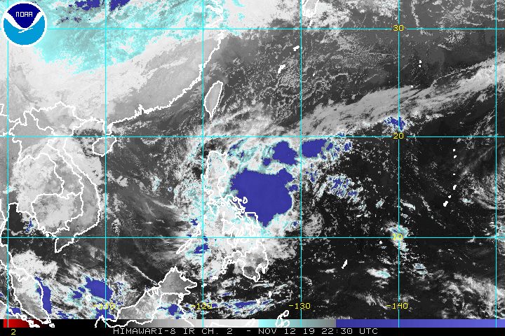
MANILA, Philippines – Tropical Depression Ramon slightly accelerated before dawn on Wednesday, November 13, as it shifted direction from west to west northwest.
In a briefing at 5 am on Wednesday, the Philippine Atmospheric, Geophysical, and Astronomical Services Administration (PAGASA) said Ramon is now 505 kilometers east of Borongan City, Eastern Samar.
The tropical depression is moving west northwest at 15 kilometers per hour (km/h) from the previous 10 km/h.
Ramon maintained its strength, with maximum winds of 55 km/h and gustiness of up to 70 km/h. It is expected to intensify into a tropical storm within the next 24 hours.
There are now 3 areas under Signal No. 1:
- Catanduanes
- Eastern Samar
- eastern part of Northern Samar
More areas might be placed under Signal No. 1 in PAGASA’s next bulletin at 11 am, including Camarines Sur, Albay, Sorsogon, and the rest of Northern Samar.
Signal No. 1 means winds of 30 km/h to 60 km/h are expected. (READ: FAST FACTS: Tropical cyclones, rainfall advisories)
Rain from Ramon will also be experienced starting Wednesday in parts of Luzon and in the provinces of Samar island in the Visayas.
Wednesday, November 13
- Light to moderate rain with occasionally heavy rain
- Catanduanes
- Camarines Sur
- Albay
- Sorsogon
- Light to moderate rain with intermittent heavy rain
- Camarines Norte
- Masbate
- Northern Samar
- Eastern Samar
Thursday, November 14
- Light to moderate rain with occasionally heavy rain
- eastern part of Isabela
- northern part of Aurora
- Light to moderate rain with intermittent heavy rain
- Bicol
- Cagayan
- Apayao
- Quezon
- Northern Samar
- rest of Isabela
- rest of Aurora
Those areas must be on alert in case there are flash floods or landslides.
Travel is also risky, especially for small vessels, in the seaboards of areas under Signal No. 1, as well as the seaboards of Northern Luzon and the eastern seaboards of Central Luzon and Southern Luzon.
Based on Ramon’s latest forecast track, it could make landfall in the Isabela-Aurora area in the early hours of Saturday, November 16. This may still change depending on the tropical depression’s direction and speed.

Ramon is the Philippines’ 18th tropical cyclone for 2019, and the 2nd for November. (READ: LIST: PAGASA’s names for tropical cyclones in 2019)
The country gets an average of 20 tropical cyclones annually, but since 2019 is an El Niño year, only 14 to 18 tropical cyclones are expected.
Below is the estimated number of tropical cyclones for the last two months of 2019:
- November – 1 or 2
- December – 0 or 1
PAGASA declared the start of the rainy season last June 14. – Rappler.com
Add a comment
How does this make you feel?
There are no comments yet. Add your comment to start the conversation.