SUMMARY
This is AI generated summarization, which may have errors. For context, always refer to the full article.
What’s the weather like in your area? Tweet us at @rapplerdotcom.
MANILA, Philippines – Signal No. 2 was raised in the province of Catanduanes as Tropical Storm Ramon (Kalmaegi) slightly slowed down on Wednesday afternoon, November 13.
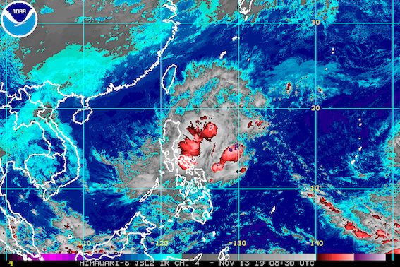
In a briefing past 5 pm on Wednesday, the Philippine Atmospheric, Geophysical, and Astronomical Services Administration (PAGASA) said Ramon is now 390 kilometers east of Catarman, Northern Samar.
It is moving west northwest at just 10 kilometers per hour (km/h) from the previous 20 km/h.
The tropical storm continues to have maximum winds of 65 km/h and gustiness of up to 80 km/h.
Below is the full list of areas under tropical cyclone wind signals.
Signal No. 2 (winds of 61 km/h to 120 km/h)
- Catanduanes
Signal No. 1 (winds of 30 km/h to 60 km/h)
- Camarines Norte
- Camarines Sur
- Albay
- Sorsogon
- Eastern Samar
- Northern Samar
Rain from Ramon will also continue in the coming hours and days. Here is the latest on the expected rainfall:
Wednesday afternoon, November 13, to Thursday afternoon, November 14
- Light to moderate rain with occasionally heavy rain
- eastern part of Cagayan
- eastern part of Isabela
- Camarines Norte
- Camarines Sur
- Catanduanes
- Light to moderate rain with intermittent heavy rain
- Apayao
- Aurora
- Quezon
- rest of Cagayan
- rest of Isabela
- rest of Bicol
Thursday afternoon, November 14, to Friday afternoon, November 15
- Light to moderate rain with occasionally heavy rain
- eastern part of Cagayan
- eastern part of Isabela
- Light to moderate rain with intermittent heavy rain
- Bicol
- Marinduque
- Romblon
- Quezon
- Aurora
- Apayao
PAGASA advised residents to stay alert for possible flash floods and landslides. (READ: FAST FACTS: Tropical cyclones, rainfall advisories)
Travel is also risky, especially for small vessels, in the seaboards of areas under Signal Nos. 1 and 2, as well as the seaboards of Northern Luzon and the eastern seaboards of Central Luzon and Southern Luzon.
Based on Ramon’s latest forecast track, it could make landfall in the Isabela-Aurora area on Saturday, November 16. This may still change depending on the tropical storm’s direction and speed.
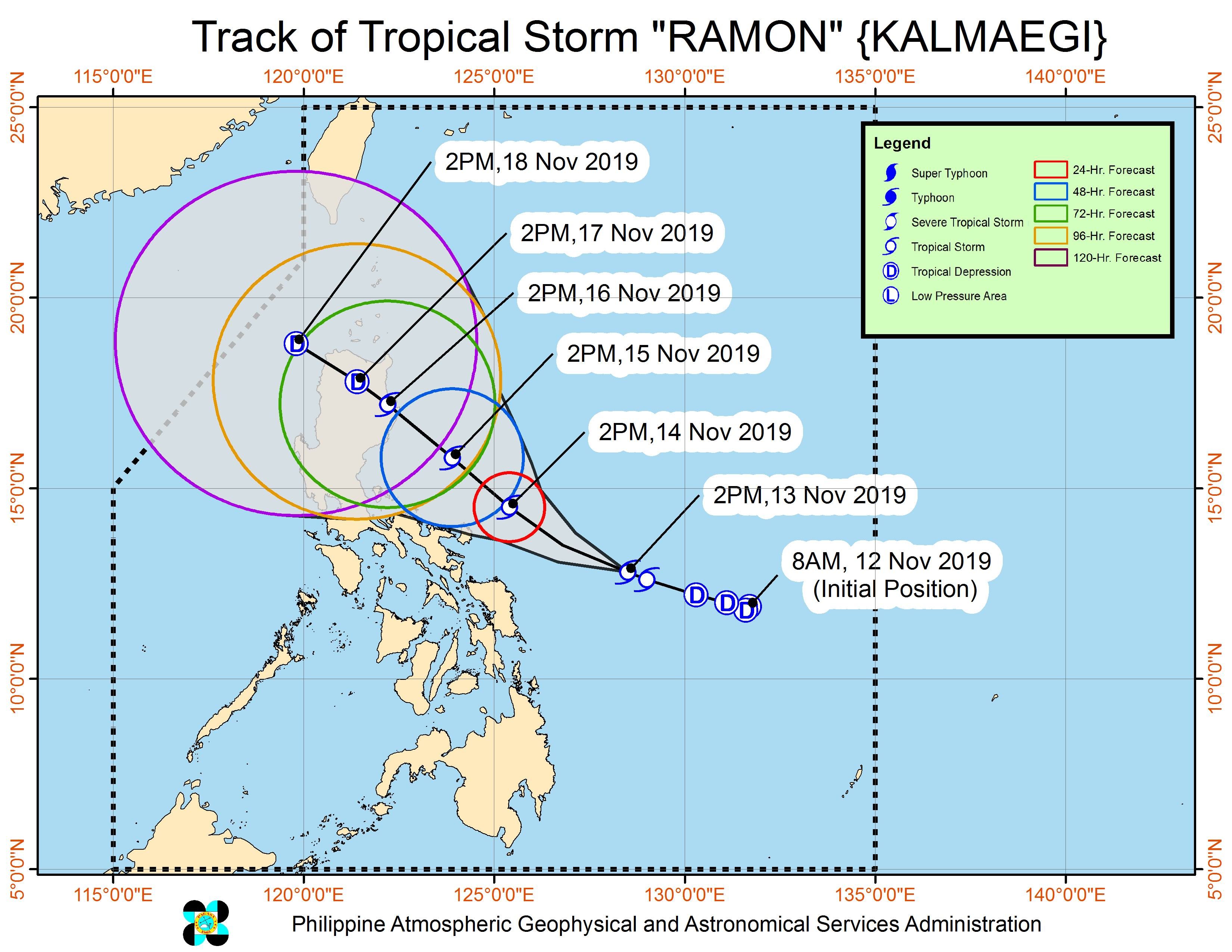
Ramon is the Philippines’ 18th tropical cyclone for 2019, and the 2nd for November. (READ: LIST: PAGASA’s names for tropical cyclones in 2019)
Meanwhile, PAGASA is also monitoring a tropical storm outside the Philippine Area of Responsibility (PAR), with the international name Fengshen.
Tropical Storm Fengshen is 3,245 kilometers east of Southern Luzon, moving west at 25 km/h.
It has maximum winds of 75 km/h and gustiness of up to 90 km/h.
PAGASA Weather Specialist Benison Estareja said Fengshen appears unlikely to enter PAR. Nonetheless, it will continue to be monitored.
The country gets an average of 20 tropical cyclones annually, but since 2019 is an El Niño year, only 14 to 18 tropical cyclones are expected.
Below is the estimated number of tropical cyclones for the last two months of 2019:
- November – 1 or 2
- December – 0 or 1
PAGASA declared the start of the rainy season last June 14. – Rappler.com
Add a comment
How does this make you feel?
There are no comments yet. Add your comment to start the conversation.