SUMMARY
This is AI generated summarization, which may have errors. For context, always refer to the full article.
What’s the weather like in your area? Tweet us at @rapplerdotcom.
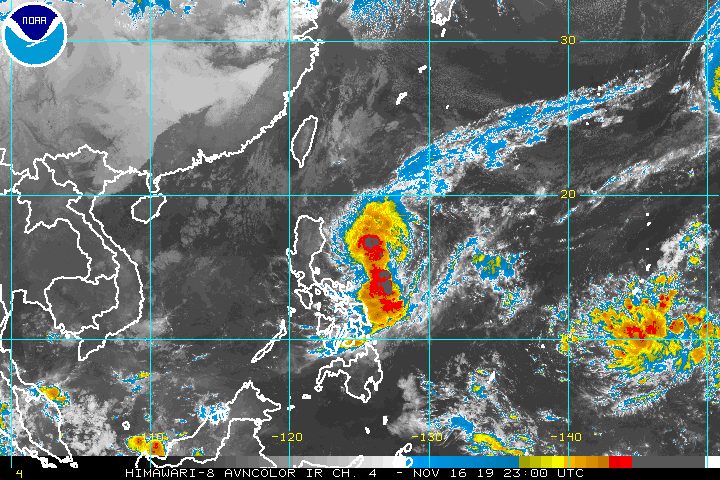
MANILA, Philippines – More municipalities and cities in the provinces of Cagayan and Isabela were placed under Signal No. 1 before dawn on Sunday, November 17, due to Tropical Storm Ramon (Kalmaegi).
In a bulletin issued 5 am on Sunday, the Philippine Atmospheric, Geophysical, and Astronomical Services Administration (PAGASA) said Ramon is already 415 kilometers east of Casiguran, Aurora.
It is now slowly moving northwest after being almost stationary on Saturday evening, November 16.
Ramon continues to have maximum winds of 65 kilometers per hour (km/h) and gustiness of up to 80 km/h.
Below is the latest list of areas under a tropical cyclone wind signal.
Signal No. 1 (winds of 30 km/h to 60 km/h)
- eastern part of Cagayan (Calayan, Aparri, Camalaniugan, Buguey, Santa Teresita, Gonzaga, Santa Ana, Lal-lo, Gattaran, Alcala, Baggao, Amulung, Iguig, Tuguegarao City, Peñablanca)
- eastern part of Isabela (San Pablo, Cabagan, Maconacon, Tumauini, Divilacan, Ilagan City, Palanan, Dinapigue)
- northern part of Aurora (Dilasag, Casiguran, Dinalungan)
Here is the latest on the expected rainfall from Ramon:
Sunday, November 17
- Light to moderate rain with intermittent heavy rain
- eastern part of Cagayan
- eastern part of Isabela
Monday, November 18
- Light to moderate rain with occasionally heavy rain
- mainland Cagayan
- Isabela
- Apayao
- Kalinga
- Light to moderate rain with intermittent heavy rain
- Babuyan Group of Islands
- northern part of Aurora
- Quirino
Residents of those areas must stay on alert for possible flash floods and landslides. (READ: FAST FACTS: Tropical cyclones, rainfall advisories)
Travel also remains risky, especially for small vessels, in the seaboards of areas under Signal No. 1, the seaboards of Northern Luzon, and the eastern seaboards of Central Luzon and Southern Luzon.
Since Ramon keeps slowing down, it could now make landfall in Cagayan on Tuesday, November 19, later than previously expected.
After hitting land, the tropical storm is projected to weaken into a tropical depression and then eventually into a low pressure area.
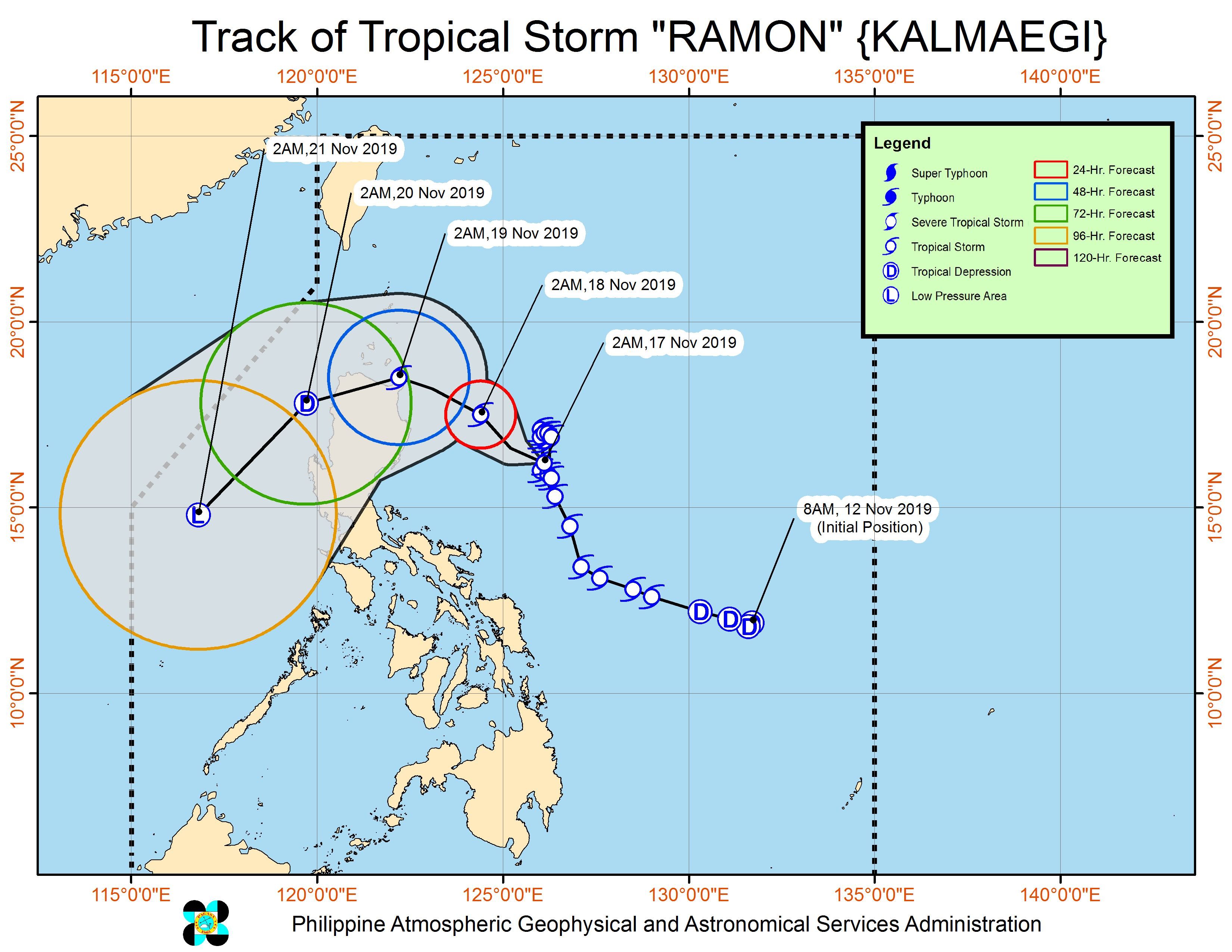
Ramon is the Philippines’ 18th tropical cyclone for 2019, and the 2nd for November. (READ: LIST: PAGASA’s names for tropical cyclones in 2019)
The country gets an average of 20 tropical cyclones annually, but since 2019 is an El Niño year, only 14 to 18 tropical cyclones are expected.
Below is the estimated number of tropical cyclones for the last two months of 2019:
- November – 1 or 2
- December – 0 or 1
PAGASA declared the start of the rainy season last June 14. – Rappler.com
Add a comment
How does this make you feel?
There are no comments yet. Add your comment to start the conversation.