SUMMARY
This is AI generated summarization, which may have errors. For context, always refer to the full article.
What’s the weather like in your area? Tweet us at @rapplerdotcom.
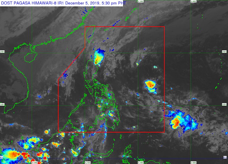
MANILA, Philippines – The tail-end of a cold front will continue to trigger rain in the eastern parts of Northern Luzon and Central Luzon until Friday, December 6.
The Philippine Atmospheric, Geophysical, and Astronomical Services Administration (PAGASA) defines the tail-end of a cold front as an “extended zone of converging winds from east to northeast that often brings thunderstorms and rainshowers.”
In a bulletin issued 4 pm on Thursday, December 5, PAGASA said scattered rainshowers and thunderstorms are expected in the following areas within the next 24 hours:
- Cagayan Valley
- Cordillera Administrative Region
- Aurora
- northern part of Quezon
Flash floods and landslides are possible, especially during periods of moderate to heavy rain.
Meanwhile, the northeast monsoon or hanging amihan will also cause light rain in the rest of Central Luzon and in the Ilocos Region, but PAGASA said there will be “no significant impact.”
The rest of the country, including Metro Manila, will enjoy generally fair weather on Friday, with just isolated rainshowers or localized thunderstorms.
PAGASA also issued a gale warning due to the surge of the northeast monsoon. This means rough to very rough seas are expected in the areas below.
Wave height of 2.8 meters to 6 meters
- northern and eastern seaboards of Northern Luzon and eastern seaboard of Central Luzon (Batanes, Cagayan including Babuyan Group of Islands, Isabela, Ilocos Norte, Aurora, and northern part of Quezon including Polillo Island)
Wave height of 2.5 meters to 4.5 meters
- western and eastern seaboards of Southern Luzon (western coast of Palawan, Occidental Mindoro, eastern coast of the southern part of Quezon, Camarines Norte, northern and eastern coasts of Camarines Sur, Catanduanes)
- western seaboard of Northern Luzon and Central Luzon (Ilocos Sur, La Union, Pangasinan, Zambales, Bataan)
PAGASA advised fishing boats and other small seacraft not to sail. Larger vessels should watch out for big waves.
Meanwhile, PAGASA continues to monitor a low pressure area (LPA) outside the Philippine Area of Responsibility (PAR). This LPA, fortunately, is unlikely to develop into a tropical depression. It may just dissipate in the coming days.
Earlier on Thursday, Tisoy (Kammuri) made its exit from PAR as a tropical depression. It was a powerful typhoon that wreaked havoc this week, leaving at least 13 people dead and hundreds of millions of pesos in damage, based on initial estimates.
Tisoy was the Philippines’ 20th tropical cyclone for 2019. (READ: LIST: PAGASA’s names for tropical cyclones in 2019)
The country gets an average of 20 tropical cyclones annually. In the earlier part of the year, only 14 to 18 tropical cyclones had been projected since 2019 is an El Niño year.
For the month of December, PAGASA had been expecting 0 to 1 tropical cyclone.
PAGASA declared the start of the rainy season last June 14. – Rappler.com
Add a comment
How does this make you feel?
There are no comments yet. Add your comment to start the conversation.