SUMMARY
This is AI generated summarization, which may have errors. For context, always refer to the full article.
What’s the weather like in your area? Tweet us at @rapplerdotcom.
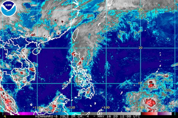
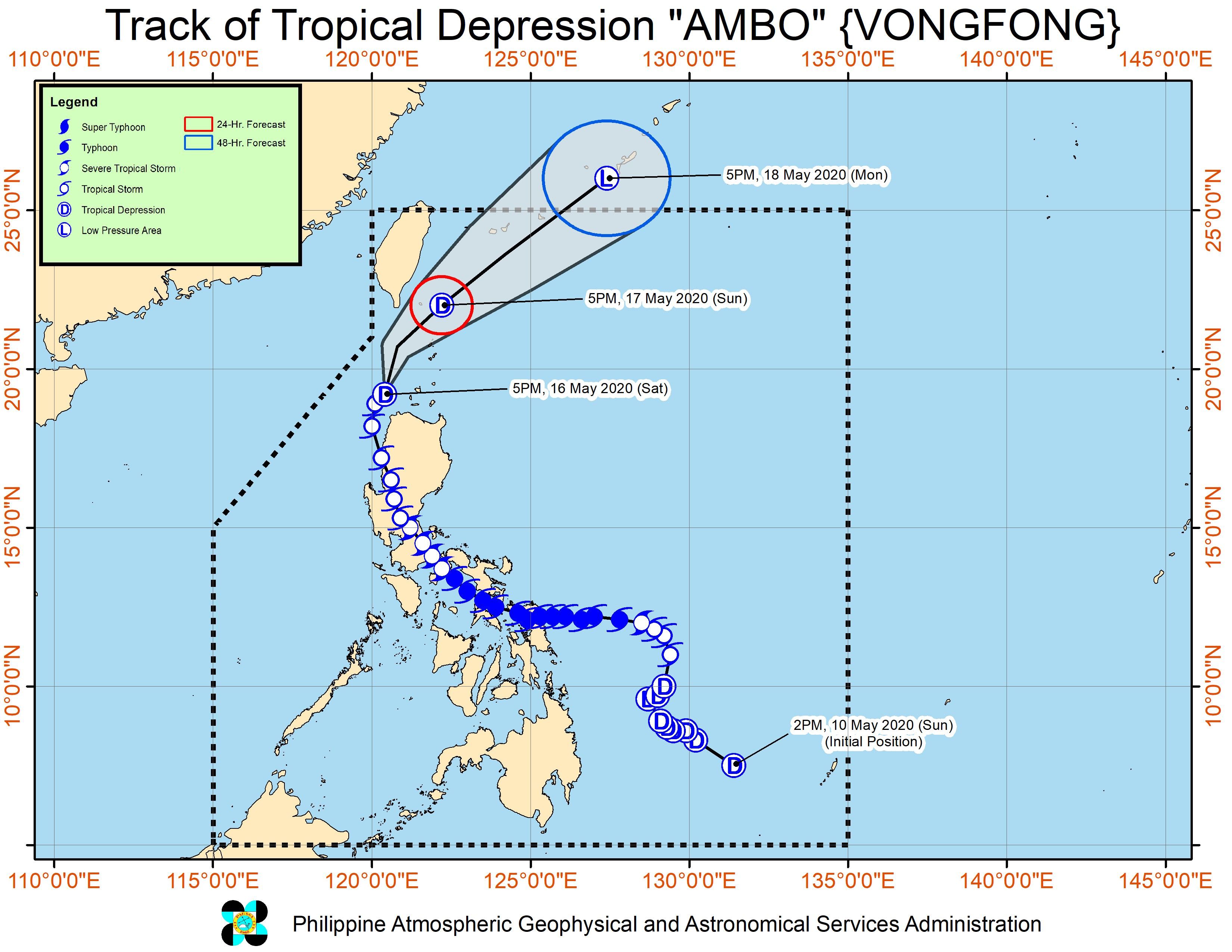
MANILA, Philippines – Ambo (Vongfong) weakened from a tropical storm into a tropical depression while over the Luzon Strait, said the state weather bureau early Saturday evening, May 16.
In a bulletin issued past 8 pm on Saturday, the Philippine Atmospheric, Geophysical, and Astronomical Services Administration (PAGASA) said Ambo is already 120 kilometers north of Laoag City, Ilocos Norte, or 90 kilometers west of Calayan, Cagayan.
Ambo also slowed down, now moving north northeast at 20 kilometers per hour (km/h) from the previous 30 km/h.
It now has maximum winds of 55 km/h from the previous 65 km/h and gustiness of up to 70 km/h from the previous 80 km/h. It will likely weaken further into a low pressure area. (READ: FAST FACTS: Tropical cyclones, rainfall advisories)
At its strongest, Ambo was a typhoon, lashing parts of the Visayas and of Luzon with damaging winds and heavy rain. It made landfall 6 times as a typhoon and once as a severe tropical storm, in these areas:
Thursday, May 14
- San Policarpo, Eastern Samar – 12:15 pm
- Dalupiri Island, Northern Samar – 10:15 pm
- Capul Island, Northern Samar – 10:30 pm
Friday, May 15
- Ticao Island, Masbate – 12 am
- Burias Island, Masbate – 3 am
- San Andres, Quezon – 7:45 am
- Real, Quezon – 5 pm
Signal No. 1 remains up in parts of Northern Luzon. (READ: Why is it now called tropical cyclone ‘wind’ – and not ‘warning’ – signals?)
Signal No. 1 (winds of 30 to 60 km/h)
- Ilocos Norte
- Batanes
- Babuyan Islands
- northwestern part of Cagayan (Santa Praxedes, Claveria, Sanchez Mira, Pamplona, Abulug, Ballesteros)
- northern part of Apayao (Calanasan, Luna)
Sea travel is also risky for all vessels in the seaboards of areas under Signal No. 1.
Meanwhile, PAGASA maintained the following rainfall outlook for the rest of Saturday evening and Sunday, May 17. Residents were again reminded that floods and landslides may still occur if the rain becomes heavy or prolonged.
Until Saturday evening, May 16
Light to moderate rain, with at times heavy rain
- Ilocos Region
- Cordillera Administrative Region
- Cagayan Valley
- northern part of Aurora
Between Saturday evening, May 16, and Sunday evening, May 17
Moderate rain, with at times heavy rain
- Batanes
- Babuyan Islands
Tens of thousands of people earlier fled their homes as authorities enforced preemptive evacuation. (READ: Social distancing ‘per family’ at Typhoon Ambo evacuation centers)
Ambo is expected to leave the Philippine Area of Responsibility on Monday afternoon, May 18.
Ambo is the Philippines’ first tropical cyclone for 2020. The country gets an average of 20 tropical cyclones per year. (READ: LIST: PAGASA’s names for tropical cyclones in 2020)
In PAGASA’s climate outlook, it gave the following estimates for the number of tropical cyclones in the next 6 months:
- May – 1 or 2
- June – 1 or 2
- July – 2 to 4
- August – 2 or 3
- September – 2 or 3
- October – 2 or 3
– Rappler.com
Add a comment
How does this make you feel?
There are no comments yet. Add your comment to start the conversation.