SUMMARY
This is AI generated summarization, which may have errors. For context, always refer to the full article.
What’s the weather like in your area? Tweet us the situation: Use #weatheralert and tag @rapplerdotcom.

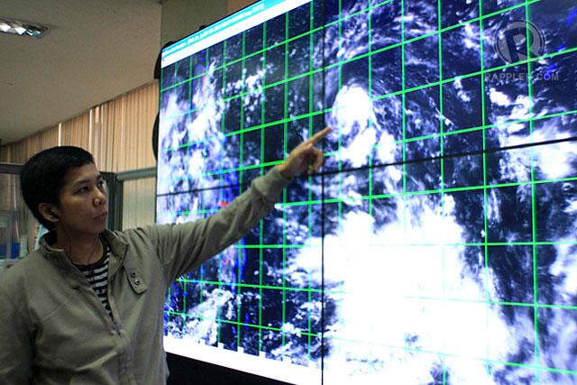
MANILA, Philippines (UPDATED) – Tropical depression Labuyo intensified and accelerated Friday morning, August 9, but the state weather bureau maintained it is “too far” to hit the Philippines directly.
In its 11 am update on Friday, the Philippine Atmospheric, Geophysical, and Astronomical Services Administration (PAGASA) said Labuyo packed maximum winds of 55 km/h near the center. It also brings 5 to 10 mm/h or rain within its 300-km diameter.
PAGASA said it is likely to move northwest at 19 km/h.
The bureau said Labuyo “is too far to directly affect any part of the country,” but warned that a low pressure area will bring light to moderate rains and thunderstorms over Southern Luzon, Visayas, and Northern Mindanao.
PAGASA added Labuyo is expected at 840 km east of Casiguran Aurora by Saturday morning, August 10; at 490 km east of Tuguegarao City by Sunday morning, August 11; and at 80 km east of Aparri by Monday morning, August 12.
PAGASA will issue its next bulletin on Labuyo at 11 pm on Friday. – Paterno Esmaquel II/Rappler.com
Add a comment
How does this make you feel?
There are no comments yet. Add your comment to start the conversation.