SUMMARY
This is AI generated summarization, which may have errors. For context, always refer to the full article.
What’s the weather like in your area? Tweet us the situation: Use #weatheralert and tag @rapplerdotcom.
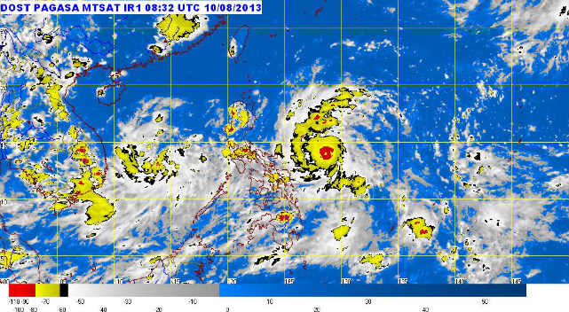
MANILA, Philippines (UPDATED) – Tropical storm Labuyo (international codename Utor) has intensified as it approached Luzon Saturday afternoon, August 10, with 10 provinces now under storm signal number 1.
Labuyo was spotted 450 km east of Virac, Catanduanes (14.0°N, 128.8°E) as of 4 pm Saturday, carrying maximum winds of 105 kilometers per hour and gusts of up to 135 km/h, state weather bureau PAGASA said.
Ten provinces were placed under storm warning signal number 1 as of PAGASA’s 5pm update:
- Camarines Sur
- Camarines Norte
- Albay
- Sorgoson
- Northern Quezon including Polilio Island
- Cagayan
- Isabela
- Aurora
- Quirino
- Catanduanes
These areas should expect winds between 45-60 km/h within the next 36 hours, the bureau said.
The storm is estimated to bring moderate to intense rainfall (5-16 mm/h) within its 600 km diameter.
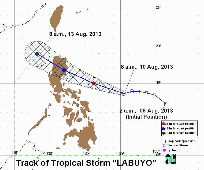
PAGASA forecasts Labuyo to move towards the west northwest, at a speed of 19 km/h, bringing it 170 km north of Virac by Sunday afternoon, August 11, and in the vicinity of Sabangan, Mountain Province, by Monday afternoon, August 12.
By Tuesday, August 13, Labuyo is expected to be either 390 km northwest of Sinait, Ilocos Norte or outside of the Philippine Area of Responsibility.
The next update on Labuyo will be released at 11 pm Saturday. – Rappler.com
Add a comment
How does this make you feel?
There are no comments yet. Add your comment to start the conversation.