SUMMARY
This is AI generated summarization, which may have errors. For context, always refer to the full article.
What’s the weather like in your area? Tweet us the situation: Use #weatheralert and tag@rapplerdotcom.
MANILA, Philippines (UPDATED) – Typhoon Odette (international codename Usagi) has slightly weakened Saturday afternoon, September 21, as it continues to affect extreme north Luzon.
It has exited the Philippine Area of Responsibility (PAR) at 7 pm, reports the state weather bureau PAGASA.
At 7:00 PM today, the eye of Typhoon “ODETTE” was located at 200 km West of Itbayat, Batanes (21.2°N, 119.8°E) outside PAR.
— PAGASA-DOST (@dost_pagasa) September 21, 2013
As of 4 pm, Odette was carrying maximum sustained winds of 175 km/h near the center and gusts of up to 210 km/h.
The islands in the extreme north Luzon – Batanes, Calayan, and Babuyan – are currently under storm signal number 2, the bureau said in its 5 pm update.
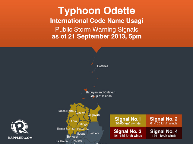
Storm warning signal number 1 is hoisted over these areas:
- Cagayan
- Abra
- Kalinga
- Apayao
- Ilocos Norte
- Ilocos Sur
- Mountain Province
Storm signals elsewhere have been lowered, the bureau said. Residents in areas with storm signals should be on continuous alert against flash floods and landslides, as well as storm surges.
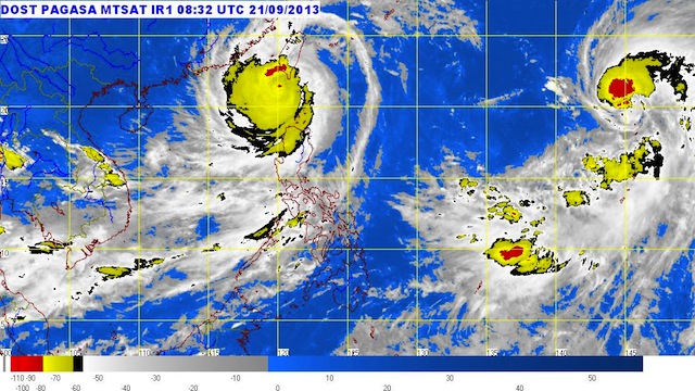
Heavy to intense rainfall can be felt within the storm’s 700 km diameter.

The typhoon, moving west northwest at a speed of 19 km/h, will continue to move towards China’s Pearl River delta area.
Odette will continue to enhance the southwest monsoon, bringing light to moderate rain and thunderstorms over the country’s west coast.
The next bulletin on Odette will be at 11 pm. – Rappler.com
Add a comment
How does this make you feel?
There are no comments yet. Add your comment to start the conversation.