SUMMARY
This is AI generated summarization, which may have errors. For context, always refer to the full article.
What’s the weather like in your area? Tweet us the situation: Use #weatheralert and tag @rapplerdotcom.
MANILA, Philippines – The low pressure area west of Luzon has been upgraded into a tropical depression Thursday afternoon, September 26, and has been given the name Paolo.
As of 4 pm, Paolo was located 230 kilometers west of Subic, Zambales (14.9ºN,117.9ºE), carrying maximum sustained winds of 45 km/h and moving west at 7 km/h.
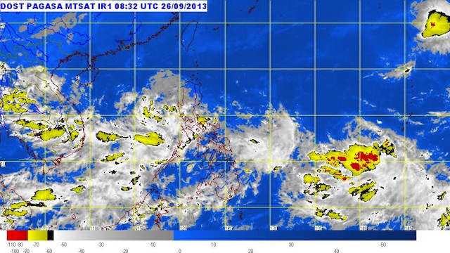
State weather bureau PAGASA said the system is estimated to carry moderate to occasionally heavy rain (5-7.5 mm/h) within its 300 km diameter.
No storm warning signals have been raised in any part of the country, the bureau said.
It is expected to be 400 km west of Subic by Friday afternoon, September 27, and outside of the Philippine Area of Responsibility (PAR) by Saturday afternoon, September 28.
Paolo will be enhancing the southwest monsoon, bringing moderate to occasionally heavy rain and thunderstorms over Zambales, Bataan, the Mindoro provinces, and north Palawan.
The next bulletin on Paolo will be issued at 11 pm. – Rappler.com
Add a comment
How does this make you feel?


There are no comments yet. Add your comment to start the conversation.