SUMMARY
This is AI generated summarization, which may have errors. For context, always refer to the full article.
What’s the weather like in your area? Tweet us the situation: Use #weatheralert and tag @rapplerdotcom.
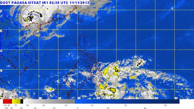
MANILA, Philippines – More provinces in Mindanao and parts of the Visayas are under storm warning signals as Tropical Depression Zoraida moves closer Monday, November 11.
Zoraida was spotted 830 kilometers southeast of Hinatuan, Surigao del Sur, with maximum sustained winds of 55 km/h near the center.
Storm warning signal number 1, where winds between 30-60 km/h is expected within 36 hours, has been hoisted over these areas:
- Dinagat
- Siargao Island
- Agusan del Norte
- Agusan del Sur
- Davao del Norte
- Surigao del Norte
- Surigao del Sur
- Davao Oriental
- Davao del Norte
- Bukidnon
- Misamis Oriental
- Camiguin
- Siquijor
- Southern Cebu
- Bohol
- Negros Oriental
- Southern Negros Occidental
The system is carrying moderate to heavy rainfall (5-15 mm/h) within its 300 km diameter, the bureau said.
Zoraida is moving northwest at a speed of 30 km/h, and is expected to be 160 km east southeast of Hinatuan by Tuesday morning, November 12.
It is forecast to be in the vicinity of Cuyo, Palawan, or 130 km west of Iloilo City on Wednesday morning, November 13. It is expected to be 650 km west of San Jose, Occidental Mindoro by Thursday, November 14.
The next bulletin will be released at 5 pm. – Rappler.com
Add a comment
How does this make you feel?
There are no comments yet. Add your comment to start the conversation.