SUMMARY
This is AI generated summarization, which may have errors. For context, always refer to the full article.
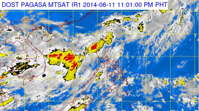
MANILA, Philippines – Tropical Depression Ester gained more strength as it moves out of the Philippine Area of Responsibility (PAR), state weather bureau PAGASA said.
In its 11pm update Wednesday, June 11, PAGASA said moderate to heavy rainfall of 5 to 15 millimeters per hour is expected in key areas still due to Ester.
“Ester will continue to enhance the Southwest Monsoon which will bring moderate to heavy rains over Batanes group of Islands, Calayan and Babuyan group of Islands, the Regions of Ilocos and Cordillera, the Provinces of Pampanga, Zambales, Bataan and Bulacan while the rest of Luzon will have occasional rains,” the weather bureau said in its report.
It advised fishing boats and other small seacrafts not to venture out into the Northern and Western seaboards of Northern Luzon.
Ester is expected to be outside the PAR by Thursday morning, June 12, at 1320 km East Northeast of Basco, Batanes.
The 11pm update was PAGASA’s last report on Ester. “With this development this is the final bulletin on this weather disturbance,” the report read.
All public storm warning signals have been lifted since Tuesday night, June 10. – Rappler.com
Add a comment
How does this make you feel?
There are no comments yet. Add your comment to start the conversation.