SUMMARY
This is AI generated summarization, which may have errors. For context, always refer to the full article.
What’s the weather like in your area? Report the situation through Rappler’s Agos or tweet us at @rapplerdotcom.
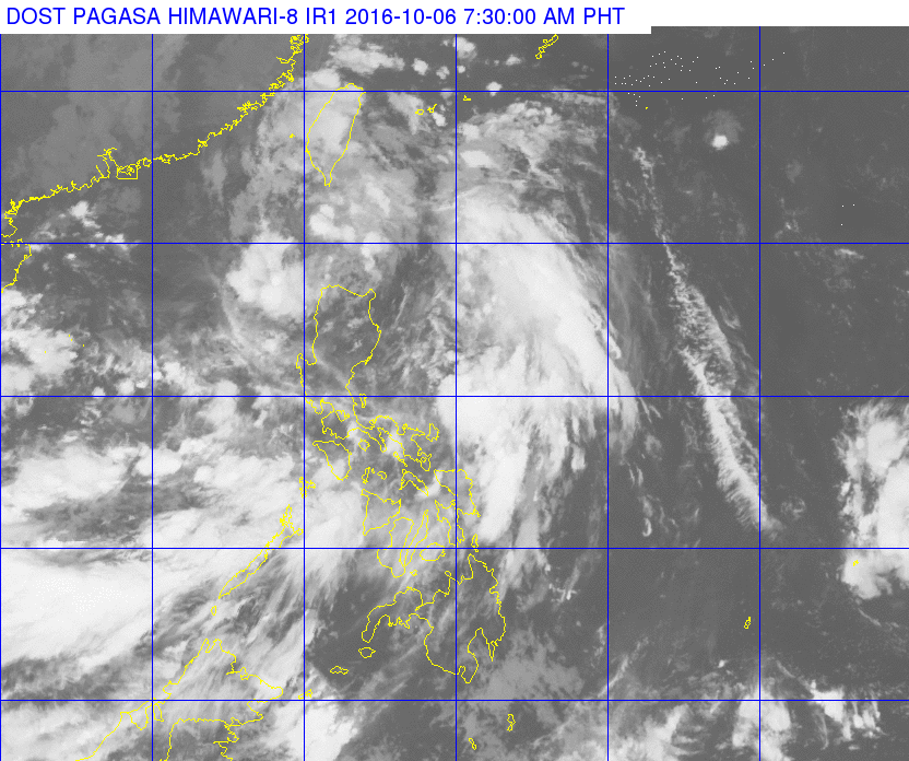
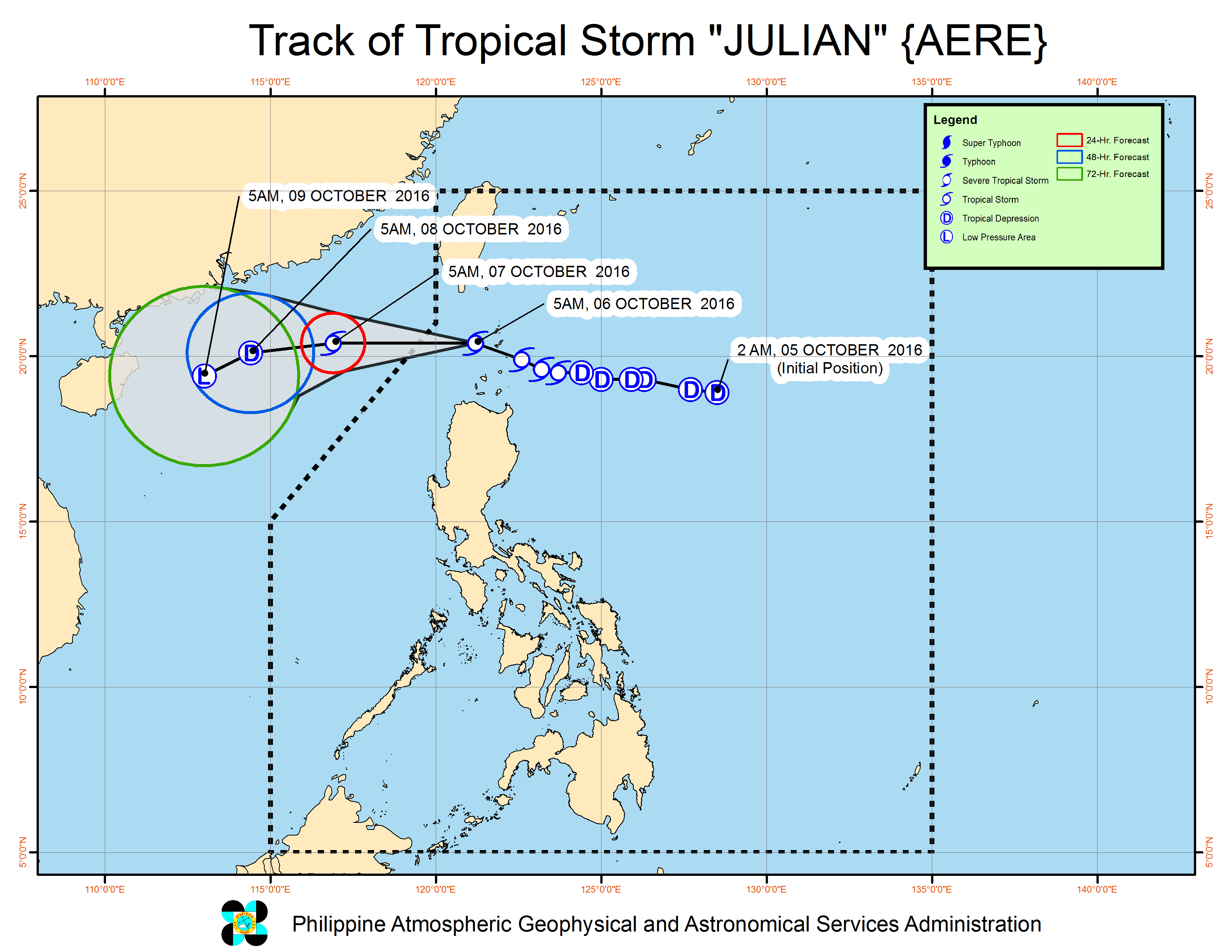
MANILA, Philippines – Tropical Storm Julian (Aere) passed between Batanes province and the Babuyan Group of Islands early Thursday morning, October 6, and now continues to move towards the western boundary of the Philippine Area of Responsibility (PAR).
In its bulletin issued 8 am on Thursday, state weather bureau PAGASA said the tropical storm is 125 kilometers west of Basco, Batanes, still moving west at 25 kilometers per hour (km/h).
Julian, which intensified from a tropical depression into a tropical storm late Wednesday night, October 5, now has maximum winds of up to 85 km/h and gustiness of up to 130 km/h.
Moderate to heavy rain is expected within the 300-km diameter of the tropical storm.
Signal number 2 is up in Batanes and the Babuyan Group of Islands, while signal number 1 is raised in the rest of northern Cagayan, Apayao, and Ilocos Norte.
Batanes experienced the effects of 3 typhoons last month – Ferdie (Meranti), Gener (Malakas), and Helen (Megi). Relief and recovery operations are ongoing in the province.
With Julian inside PAR, PAGASA also warned small seacraft not to venture out into the northern seaboard of Northern Luzon.
Julian is expected to leave PAR on Thursday afternoon.
– Rappler.com
Add a comment
How does this make you feel?
There are no comments yet. Add your comment to start the conversation.