SUMMARY
This is AI generated summarization, which may have errors. For context, always refer to the full article.
What’s the weather like in your area? Report the situation through Rappler’s Agos or tweet us at @rapplerdotcom.
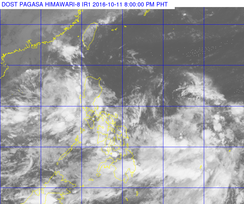
MANILA, Philippines – State weather bureau PAGASA is monitoring a low pressure area (LPA) which is embedded along the intertropical convergence zone (ITCZ) affecting Palawan, the Visayas, and Mindanao.
In its bulletin issued 5 pm on Tuesday, October 11, PAGASA said the LPA is 900 kilometers (km) east of Surigao City, Surigao del Norte.
On Wednesday, October 12, light to moderate rain and thunderstorms are expected in the regions of Eastern Visayas, Davao, Caraga, and the Zamboanga Peninsula, as well as the provinces of Basilan and Sulu.
The rest of the country, including Metro Manila, will have just isolated rainshowers or thunderstorms.
Meanwhile, PAGASA continues to monitor Typhoon Songda, which remains outside the Philippine Area of Responsibility (PAR).
Songda is 2,690 km east northeast of extreme Northern Luzon. It has maximum winds of up to 160 kilometers per hour (km/h) and gustiness of up to 195 km/h. – Rappler.com
Add a comment
How does this make you feel?
There are no comments yet. Add your comment to start the conversation.