SUMMARY
This is AI generated summarization, which may have errors. For context, always refer to the full article.
What’s the weather like in your area? Report the situation through Rappler’s Agos or tweet us at @rapplerdotcom.
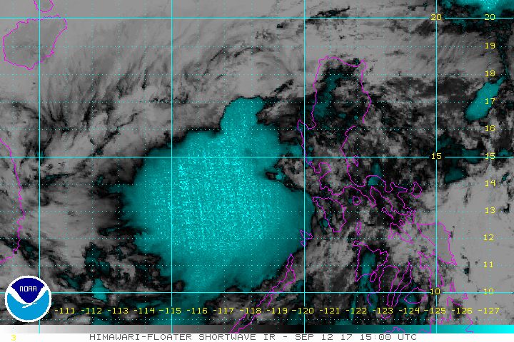
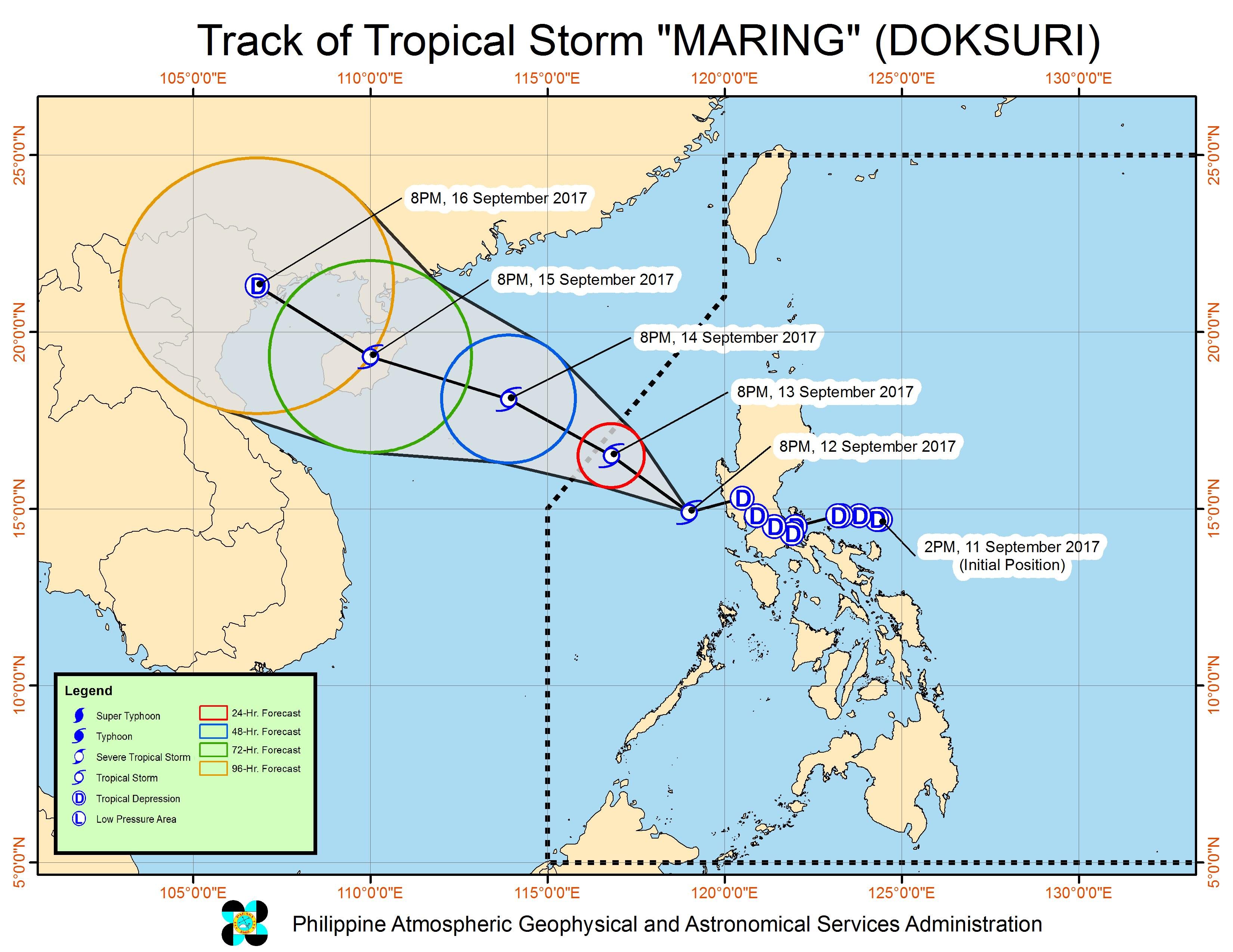
MANILA, Philippines – Tropical Depression Maring intensified into a tropical storm late Tuesday evening, September 12, as it headed for the West Philippine Sea. It has been given the international name Doksuri.
In a bulletin issued 11 pm on Tuesday, state weather bureau PAGASA said the tropical storm is already 145 kilometers west southwest of Iba, Zambales, still moving west northwest at 15 kilometers per hour (km/h).
Maring now has maximum winds of 75 km/h and gustiness of up to 90 km/h.
Even though Maring is stronger, only Zambales and Bataan remain under signal number 1, since the tropical storm is already moving away from the country. These two provinces will continue to have moderate to heavy rain, which may trigger flash floods and landslides. (READ: 2 brothers dead in Taytay landslide)
Tarlac, Pampanga, and Bulacan, meanwhile, are expected to have light to heavy thunderstorms.
Some cities and provinces again suspended classes for Wednesday, September 13, particularly those who experienced the worst flooding and evacuations on Tuesday.
PAGASA also warned that sea travel remains risky in the seaboards of Central Luzon, Calabarzon, and Mindoro.
Typhoon Lannie
PAGASA also continues to monitor Typhoon Lannie (Talim), which is not directly affecting the country.
Lannie is located 655 kilometers east northeast of Basco, Batanes, moving west northwest toward Taiwan at 22 km/h.
Like Maring, it also slightly intensified and now has maximum winds of 125 km/h and gustiness of up to 155 km/h.
There are no areas under tropical cyclone warning signals due to Lannie.
Lannie is expected to leave the Philippine Area of Responsibility (PAR) on Wednesday afternoon, while Maring will leave PAR either Wednesday evening or early Thursday morning, September 14. – Rappler.com
Add a comment
How does this make you feel?
There are no comments yet. Add your comment to start the conversation.