SUMMARY
This is AI generated summarization, which may have errors. For context, always refer to the full article.
What’s the weather like in your area? Report the situation through Rappler’s Agos or tweet us at @rapplerdotcom.
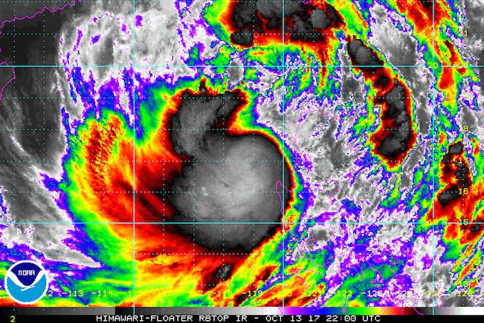
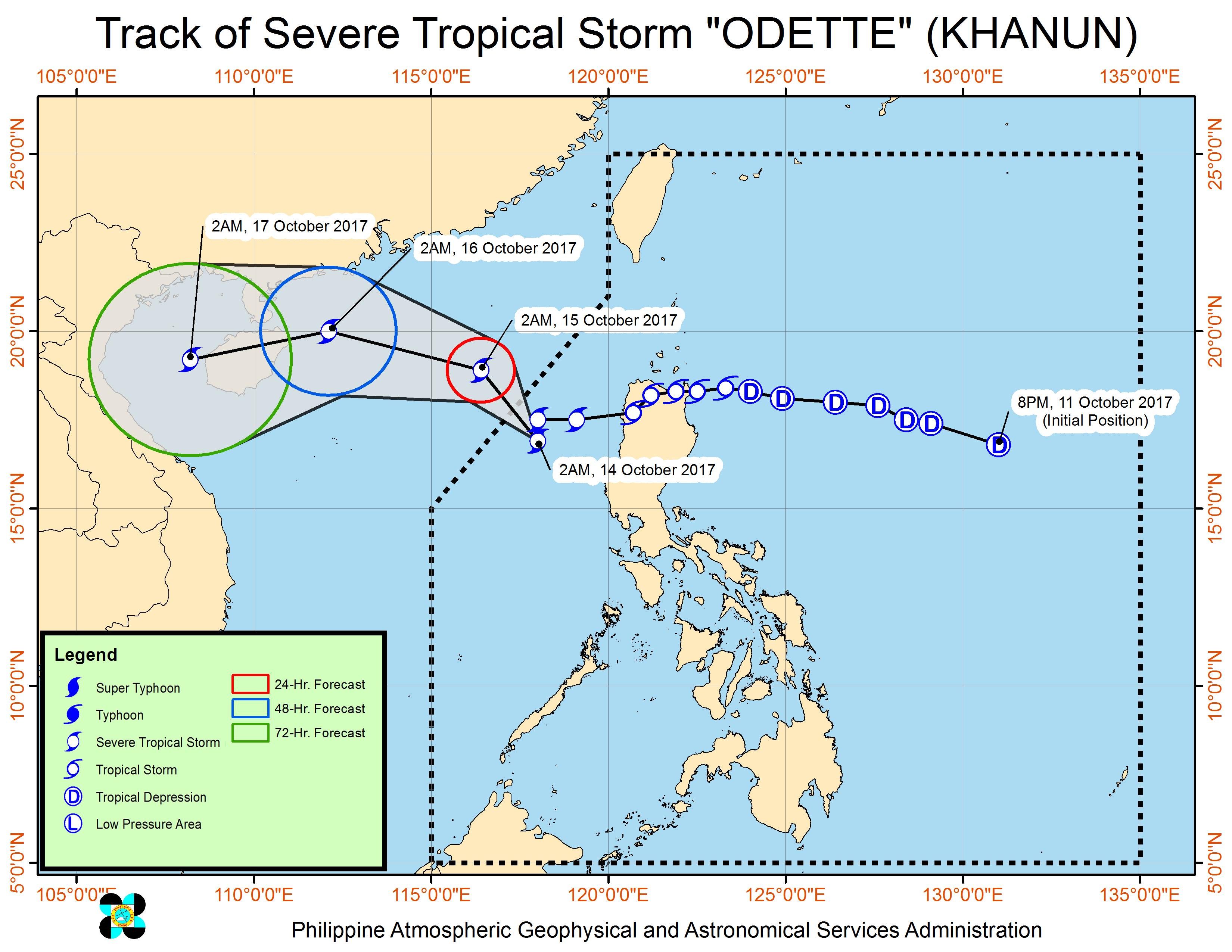
MANILA, Philippines – Even more rain is expected after Severe Tropical Storm Odette (Khanun) slowed down early Saturday morning, October 14, on its way out of the Philippine Area of Responsibility (PAR).
In a bulletin issued 5 am on Saturday, state weather bureau PAGASA said Odette had barely moved for the past 6 hours. It was 280 kilometers west northwest of Dagupan City, Pangasinan, heading west northwest at a slower 10 kilometers per hour (km/h) from the previous 12 km/h.
The severe tropical storm maintained its strength, with maximum winds of 90 km/h and gustiness of up to 113 km/h.
Only Pangasinan remains under signal number 1. Residents of the province should still watch out for possible floods and landslides.
Aside from Pangasinan, PAGASA warned that there would also be moderate to heavy rain in Metro Manila, Central Luzon, Calabarzon, Mimaropa, and Western Visayas on Saturday.
Sea travel also remains risky in the seaboards of Northern Luzon, the western seaboard of Central Luzon, and the western and southern seaboards of Southern Luzon. (READ: FAST FACTS: Tropical cyclones, rainfall advisories)
Odette had made landfall in Santa Ana, Cagayan at 12:40 am on Friday, October 13. The municipality of Allacapan in Cagayan, where the severe tropical storm also passed through, has since been placed under a state of calamity.
Odette is expected to leave PAR on Saturday.
– Rappler.com
Add a comment
How does this make you feel?
There are no comments yet. Add your comment to start the conversation.