SUMMARY
This is AI generated summarization, which may have errors. For context, always refer to the full article.
What’s the weather like in your area? Report the situation through Rappler’s Agos or tweet us at @rapplerdotcom.
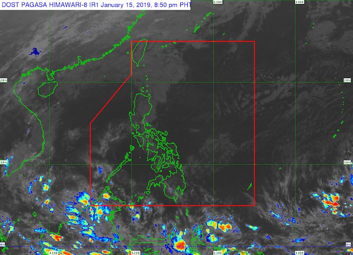
MANILA, Philippines – Weather forecasters continue to monitor a low pressure area (LPA) outside the Philippine Area of Responsibility (PAR).
In a briefing at 5 pm on Tuesday, January 15, the Philippine Atmospheric, Geophysical, and Astronomical Services Administration (PAGASA) said the LPA is now 2,720 kilometers east of Mindanao.
It might enter PAR either on Friday, January 18, or Saturday, January 19.
Before entering PAR, it could develop into a tropical depression. If it does, it would become the Philippines’ first tropical cyclone for 2019 and would be given the local name Amang. (READ: LIST: PAGASA’s names for tropical cyclones in 2019)
The Philippines gets an average of 20 tropical cyclones per year. The forecast for January is zero to one tropical cyclone. (READ: FAST FACTS: Tropical cyclones, rainfall advisories)
Meanwhile, the entire country will enjoy generally good weather on Wednesday, January 16.
The northeast monsoon or hanging amihan may bring light rain to some parts of Luzon and the Visayas, but PAGASA does not expect any “significant impact.”
Mindanao, meanwhile, will only have localized thunderstorms. – Rappler.com
Add a comment
How does this make you feel?
There are no comments yet. Add your comment to start the conversation.