SUMMARY
This is AI generated summarization, which may have errors. For context, always refer to the full article.
What’s the weather like in your area? Report the situation through Rappler’s Agos or tweet us at @rapplerdotcom.
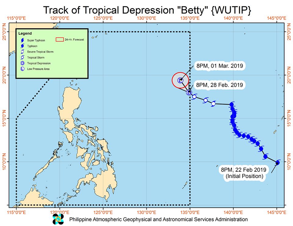
MANILA, Philippines – Wutip weakened from a tropical storm into a tropical depression as it entered the Philippine Area of Responsibility (PAR) at 7 pm on Thursday, February 28. It has been given the local name Betty.
In a bulletin issued 11 pm on Thursday, the Philippine Atmospheric, Geophysical, and Astronomical Services Administration (PAGASA) said Tropical Depression Betty is already 1,385 kilometers east of Tuguegarao City, Cagayan.
It is now moving northwest at a slower 15 kilometers per hour (km/h) from the previous 25 km/h.
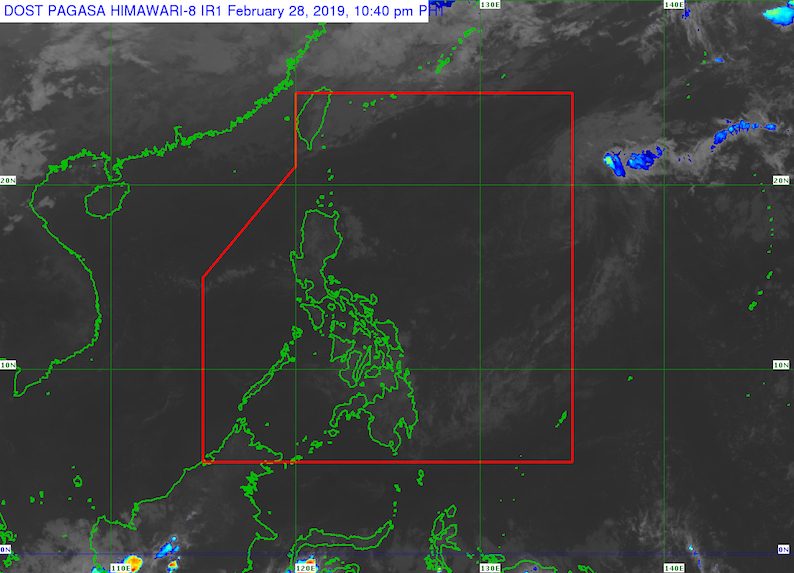
Due to its distance from land, there are no areas under tropical cyclone warning signals.
At the moment, Betty has maximum winds of 55 km/h and gustiness of up to 65 km/h.
But PAGASA said Betty is expected to weaken further into a low pressure area within the next 12 to 24 hours, or on Friday, March 1.
“As such, this tropical cyclone poses no direct threat to any part of the country,” said the state weather bureau in its bulletin. (READ: FAST FACTS: Tropical cyclones, rainfall advisories)
Betty is the Philippines’ second tropical cyclone for 2019, after Tropical Depression Amang in January.
The country gets an average of 20 tropical cyclones per year, but PAGASA expects only 14 to 18 in 2019. The number is likely to be below average as the state weather bureau is already in the El Niño Advisory stage, the last stage before declaring El Niño. (READ: PAGASA warns of ‘full-blown’ El Niño in 2019)
Below is the estimated number of tropical cyclones for the next 6 months:
- March – 0 or 1
- April – 0 or 1
- May – 1 or 2
- June – 1 or 2
- July – 2 or 3
- August – 2 or 3
Meanwhile, the country will have generally good weather on Friday.
There will only be isolated light rains in Cagayan Valley, Eastern Visayas, Caraga, Aurora, and Quezon, due to the northeast monsoon or hanging amihan. But PAGASA said there will be “no significant impact.” – Rappler.com
Add a comment
How does this make you feel?
There are no comments yet. Add your comment to start the conversation.