SUMMARY
This is AI generated summarization, which may have errors. For context, always refer to the full article.
What’s the weather like in your area? Tweet us the situation: Use #weatheralert and tag @rapplerdotcom.
MANILA, Philippines (2nd UPDATE) – The Batanes Group of Islands remained under Storm Warning Signal No. 2 on Friday afternoon, July 12, as typhoon Huaning maintained its strength and made its way out of the Philippines.
In its 5 pm update on Friday, the Philippine Atmospheric, Geophysical, and Astronomical Services Administration (PAGASA) also kept the Calayan and Babuyan Groups of Islands under Signal No. 1.
PAGASA said Huaning didn’t strengthen over the past few hours.
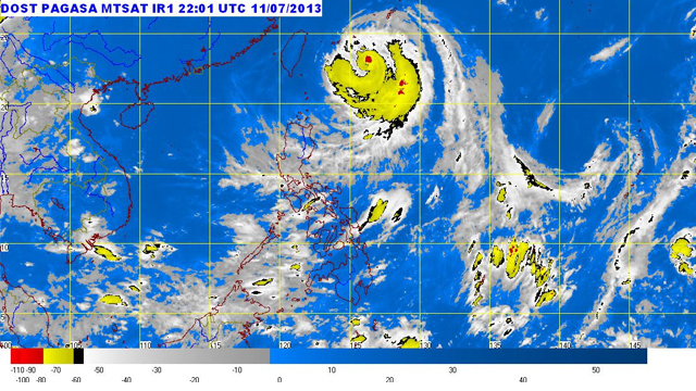
Huaning still packed maximum winds of 165 km/h near the center, and gustiness of up to 200 km/h. This was the same intensity recorded in PAGASA’s 5 am and 11 am updates on Friday.
Huaning weakened overnight after PAGASA said it packed maximum winds of 175 km/h and gustiness of 210 km/h as of Thursday evening, July 11.
PAGASA said Huaning is moving in a west-northwest direction at 20 km/h. It is at 360 km northeast of Itbayat, Batanes as of 5 pm on Friday.
By Saturday morning, July 13, the typhoon is expected to exit the Philippine area of responsibility. Then, by Saturday afternoon, it is forecast at 540 km north-northwest of Itbayat, Batanes, or 140 km northwest of northern Taiwan. – Paterno Esmaquel II/Rappler.com
Add a comment
How does this make you feel?
There are no comments yet. Add your comment to start the conversation.