SUMMARY
This is AI generated summarization, which may have errors. For context, always refer to the full article.
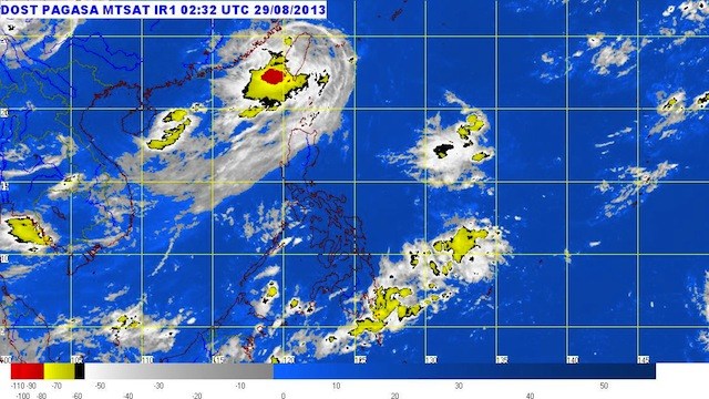
MANILA, Philippines – Tropical storm Nando (Kong-rey) has left the Philippine Area of Responsibility Thursday morning, August 29, as a new low pressure area forms east of northern Luzon.
Nando was located 460 km north of Basco, Batanes, or 20 km east of northern Taiwan (25.1°N, 122.3°E) as of 10 am Thursday, carrying maximum sustained winds of 105 km/h near the center and gusts of up to 135 km/h.
All public storm warning signals in the Philippines have been lowered, the bureau said.
Despite Nando leaving PAR, the system will still affect the southwest monsoon, bringing rain to Batanes and the Calayan & Babuyan island groups.
On the other hand, the new LPA was located 1,220 km east of extreme northern Luzon (19.0°N, 135.4°E) as of 10 am, the bureau said.
Taiwan prepares
Taiwan put tens of thousands of troops on standby and shut schools and offices in an offshore island Wednesday, August 28, as weather forecasters warned of torrential rain due to the storm.
“Due to the storm, the mountainous areas in the centre and south are forecast to have a large amount of rainfall from Wednesday afternoon to Thursday,” the Central Weather Bureau said in a statement.
As the storm also brought fierce winds, the government of Orchid Island, a popular scenic spot off the southeastern coast, decided to close schools and offices.
Flights and ferries to and from the small island were also suspended, the local government said.
Although the storm was not likely to make landfall, the military stepped up its preparations and ordered more than 47,000 troops to be on standby. – With reports from the Agence France-Presse/Rappler.com
Add a comment
How does this make you feel?
There are no comments yet. Add your comment to start the conversation.