SUMMARY
This is AI generated summarization, which may have errors. For context, always refer to the full article.
What’s the weather like in your area? Tweet us the situation: Use #weatheralert and tag @rapplerdotcom
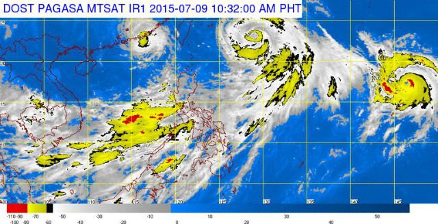
MANILA, Philippines (UPDATED) – Typhoon Falcon (international name Chan-Hom) has maintained its strength on Thursday, July 9, said state weather bureau PAGASA.
As of 10 am Thursday, the eye of the typhoon was located 795 km east northeast of Itbayat, Batanes, still with maximum sustained winds of 130 kilometers/hour (km/h) near the center and gustiness of up to 160 km/h.
It is now moving northwest in direction at a speed of 22 km/h, with heavy to at times intense rainfall estimated within its 300-km radius.
Falcon will enhance the southwest monsoon and will bring moderate to occasionally heavy rains over Luzon and Visayas, especially over the western sections.
PAGASA warned fisherfolk against venturing out over the seaboards of Luzon and Visayas, while residents in mountainous and low-lying areas should stay alert against possible flashfloods and landslides.
Metro Manila and the regions of Ilocos, Cordillera, Central Luzon, Calabarzon and Mimaropa will experience monsoon rains which may trigger flashfloods and landslides.
The rest of Luzon, Western Visayas, and Central Visayas will have occasional rains, while the the rest of the country will have partly cloudy to cloudy skies with isolated thunderstorms.
Coastal seas throughout the archipelago will be moderate to rough as moderate to strong winds blow from the southwest.
The next bulletin on Falcon will be issued at 11 pm Thursday. – Rappler.com
Add a comment
How does this make you feel?
There are no comments yet. Add your comment to start the conversation.