SUMMARY
This is AI generated summarization, which may have errors. For context, always refer to the full article.
What’s the weather like in your area? Tweet us the situation: Use #weatheralert and tag @rapplerdotcom
MANILA, Philippines (UPDATED) – Typhoon Falcon (international name Chan-Hom) has slightly intensified on Thursday afternoon, July 9, said state weather bureau PAGASA.
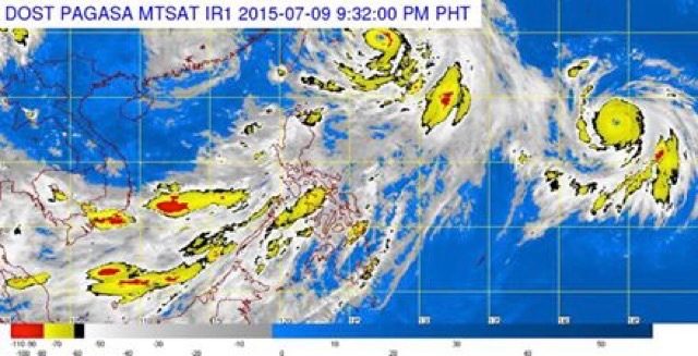
As of 11 pm Thursday, the eye of the typhoon was located 695 km northeast of Itbayat, Batanes. It has intensified further, with maximum sustained winds of 150 kilometers/hour (km/h) near the center and gustiness of up to 185 km/h. It is expected to leave the Philippine Area of Responsibility by Friday morning, July 10.
It is still moving northwest in direction at a speed of 22 km/h. Falcon will continue to enhance the southwest monsoon affecting Luzon and Western Visayas.
Metro Manila and the regions of Ilocos, Cordillera, Central Luzon, Calabarzon and Mimaropa will experience monsoon rains which may trigger flashfloods and landslides.
The rest of Luzon, Western Visayas, and Central Visayas will have occasional rains, while the the rest of the country will have partly cloudy to cloudy skies with isolated thunderstorms.
Coastal seas throughout the archipelago will be moderate to rough as moderate to strong winds blow from the southwest.
The next bulletin on Falcon will be issued at 11 am Friday. – Rappler.com
Add a comment
How does this make you feel?
There are no comments yet. Add your comment to start the conversation.