SUMMARY
This is AI generated summarization, which may have errors. For context, always refer to the full article.
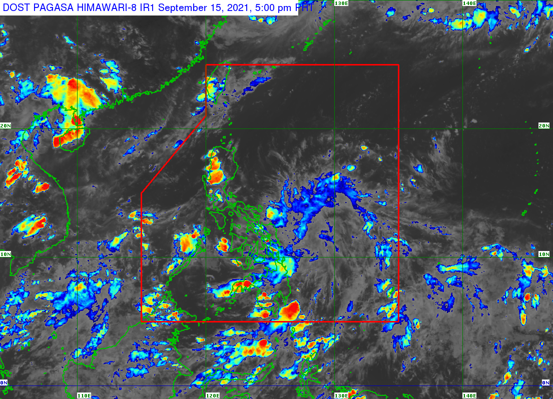
A low pressure area (LPA) formed inside the Philippine Area of Responsibility (PAR) on Wednesday, September 15.
The LPA was located 375 kilometers east of Guiuan, Eastern Samar, on Wednesday afternoon, said the Philippine Atmospheric, Geophysical, and Astronomical Services Administration (PAGASA).
It is embedded in the intertropical convergence zone (ITCZ), which is affecting Palawan, the Visayas, and Mindanao.
The ITCZ is a belt near the equator where the trade winds of the Northern Hemisphere and Southern Hemisphere meet, usually causing LPAs or thunderstorms.
Scattered rain showers and thunderstorms are expected in Mindanao and Eastern Visayas until Thursday, September 16, due to the ITCZ and the LPA.
PAGASA warned that flash floods and landslides are possible during periods of moderate to heavy rain.
The rest of the country may also have isolated rain or localized thunderstorms until Thursday.
For now, the LPA only has a slim chance of developing into a tropical cyclone in the next 48 hours.
But PAGASA Weather Specialist Joey Figuracion said the LPA may cross parts of the Visayas and Southern Luzon in the coming days, bringing rain.
The state weather bureau advised the public to monitor updates. (READ: FAST FACTS: Tropical cyclones, rainfall advisories)
The Philippines has seen 11 tropical cyclones in 2021 – most recently the back-to-back Typhoon Jolina (Conson) and Typhoon Kiko (Chanthu).
If the new LPA becomes a tropical cyclone, it would be given the local name Lannie. (READ: LIST: PAGASA’s names for tropical cyclones in 2021)
PAGASA is also keeping an eye on the possible emergence of La Niña in the fourth quarter of 2021. – Rappler.com
Add a comment
How does this make you feel?
There are no comments yet. Add your comment to start the conversation.