SUMMARY
This is AI generated summarization, which may have errors. For context, always refer to the full article.
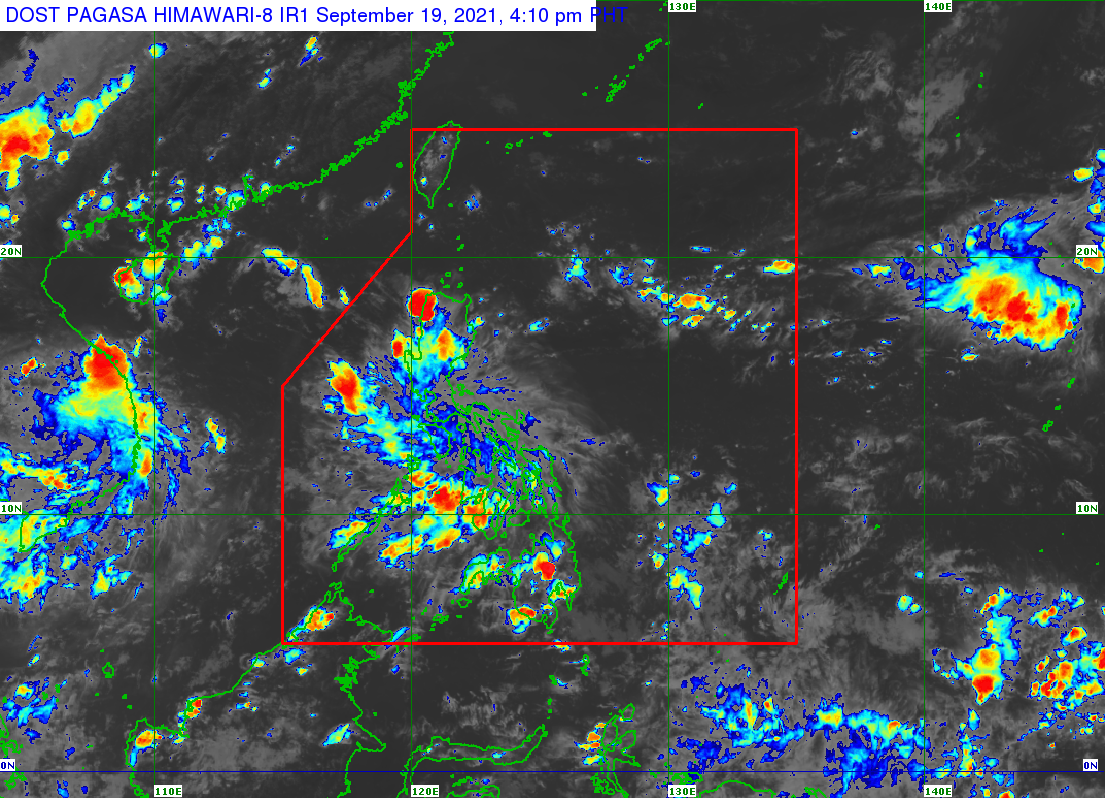
Scattered rain showers and thunderstorms will continue in parts of Luzon and the Visayas for the rest of Sunday, September 19, due to the low pressure area (LPA) embedded in the intertropical convergence zone (ITCZ).
The LPA was already 45 kilometers north of the municipality of Romblon in Romblon province on Sunday afternoon, said the Philippine Atmospheric, Geophysical, and Astronomical Services Administration (PAGASA).
The ITCZ, meanwhile, is affecting Southern Luzon, the Visayas, and Mindanao. It is a belt near the equator where the trade winds of the Northern Hemisphere and Southern Hemisphere meet, usually causing LPAs or thunderstorms.
Due to the LPA and the ITCZ, scattered rain showers and thunderstorms are expected in these regions and provinces:
- Metro Manila
- Central Luzon
- Calabarzon
- Mimaropa
- Bicol
- La Union
- Pangasinan
- Nueva Vizcaya
- Benguet
- Ifugao
- Western Visayas
Flash floods and landslides could occur during severe thunderstorms.
The rest of the Philippines will have generally fair weather, with just isolated rain. (READ: FAST FACTS: Tropical cyclones, rainfall advisories)
PAGASA Senior Weather Specialist Chris Perez said the LPA remains less likely to develop into a tropical cyclone.
The country’s next tropical cyclone, which would be the 12th for 2021, will be given the local name Lannie. (READ: LIST: PAGASA’s names for tropical cyclones in 2021)
The weather bureau is also monitoring the potential emergence of La Niña in the fourth quarter of 2021. – Rappler.com
Add a comment
How does this make you feel?
There are no comments yet. Add your comment to start the conversation.