SUMMARY
This is AI generated summarization, which may have errors. For context, always refer to the full article.
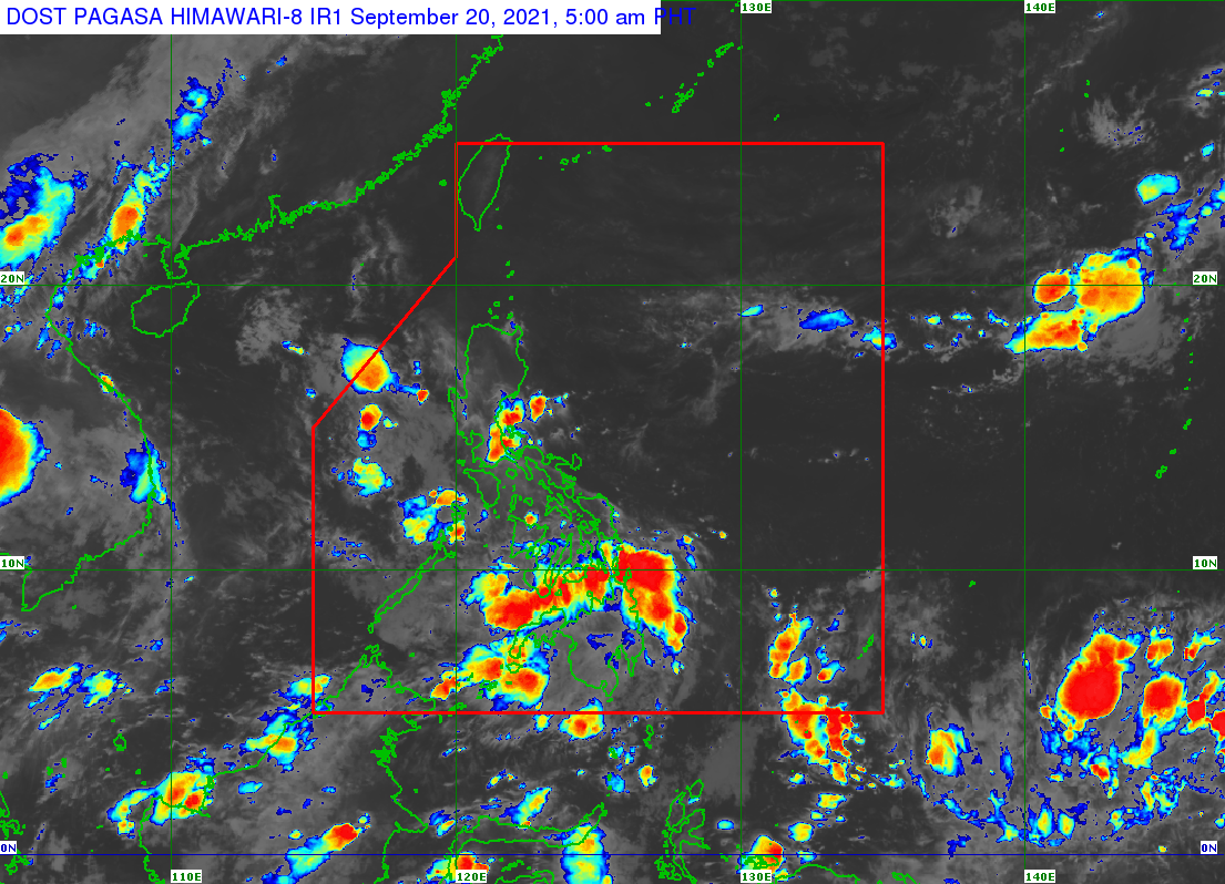
The low pressure area (LPA) causing rain in parts of the country was already over the West Philippine Sea before dawn on Monday, September 20.
It was last spotted 280 kilometers west of Subic, Zambales, still embedded in the intertropical convergence zone (ITCZ), which is affecting Southern Luzon, the Visayas, and Mindanao.
Ariel Rojas, weather specialist of the Philippine Atmospheric, Geophysical, and Astronomical Services Administration (PAGASA), said the LPA is expected to leave the Philippine Area of Responsibility (PAR) by Monday morning.
Rojas added that the LPA is not seen to become a tropical cyclone inside PAR. No tropical cyclones are expected to form in the next two to three days. (READ: FAST FACTS: Tropical cyclones, rainfall advisories)
Scattered rain showers and thunderstorms will continue, however, due to the LPA and the ITCZ. The following areas are affected on Monday:
- Mimaropa
- Quezon
- Western Visayas
- Mindanao
The rest of the Philippines could have isolated rain from the ITCZ or localized thunderstorms, too.
PAGASA warned that severe thunderstorms may trigger flash floods or landslides.
There have been 11 tropical cyclones inside PAR in 2021. The yearly average is 20. (READ: LIST: PAGASA’s names for tropical cyclones in 2021)
There is also a 70% to 80% chance of La Niña forming in the fourth quarter of 2021. – Rappler.com
Add a comment
How does this make you feel?
There are no comments yet. Add your comment to start the conversation.