SUMMARY
This is AI generated summarization, which may have errors. For context, always refer to the full article.
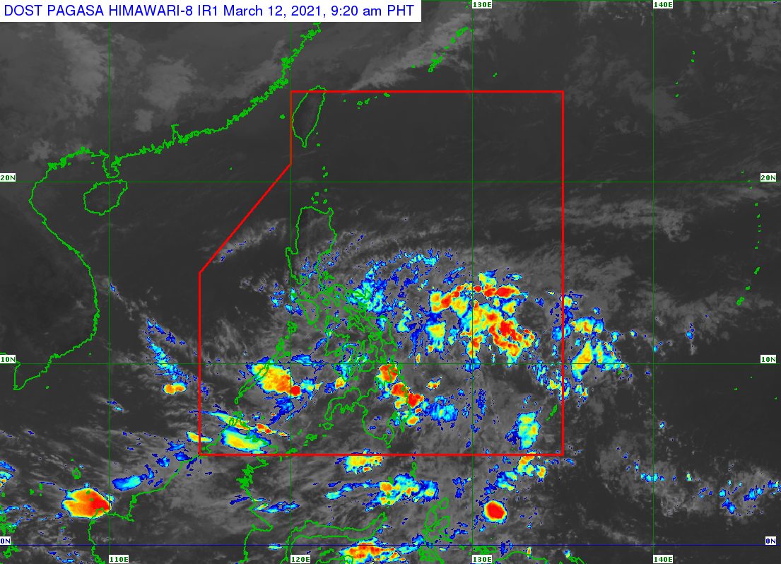
The Caraga region in Mindanao will continue to see the heaviest rain from the low pressure area (LPA) that has affected parts of the country in the past couple of days.
The Philippine Atmospheric, Geophysical, and Astronomical Services Administration (PAGASA) said in an 11 am advisory on Friday, March 12, that the LPA is now 70 kilometers southwest of Zamboanga City.
PAGASA said the LPA may generally move west northwest, toward the Sulu Sea and the southern part of Palawan.
It is still “less likely” to become a tropical depression, but rain will continue on Friday. Floods and landslides remain possible. (READ: FAST FACTS: Tropical cyclones, rainfall advisories)
Below is the state weather bureau’s latest rainfall forecast for Friday.
Moderate to heavy rain
- Surigao del Norte
- Surigao del Sur
- Dinagat Islands
Light to moderate rain, with at times heavy rain
- rest of Caraga
- Davao Region
- Eastern Visayas
- Bicol
- Quezon
- Palawan
Caraga was also affected by the Philippines’ first tropical cyclone for 2021, Auring (Dujuan), back in February. Auring briefly peaked as a severe tropical storm but eventually hit land as a tropical depression.
The Philippines usually gets around 20 tropical cyclones per year. (READ: LIST: PAGASA’s names for tropical cyclones in 2021)
For the next 6 months, these are PAGASA’s latest predictions for the number of tropical cyclones:
- March – 0 or 1
- April – 0 or 1
- May – 0 or 1
- June – 1 or 2
- July – 1 to 3
- August – 2 or 3
La Niña, which causes above normal rainfall, is still ongoing. It began in October 2020. – Rappler.com
Add a comment
How does this make you feel?
There are no comments yet. Add your comment to start the conversation.