SUMMARY
This is AI generated summarization, which may have errors. For context, always refer to the full article.
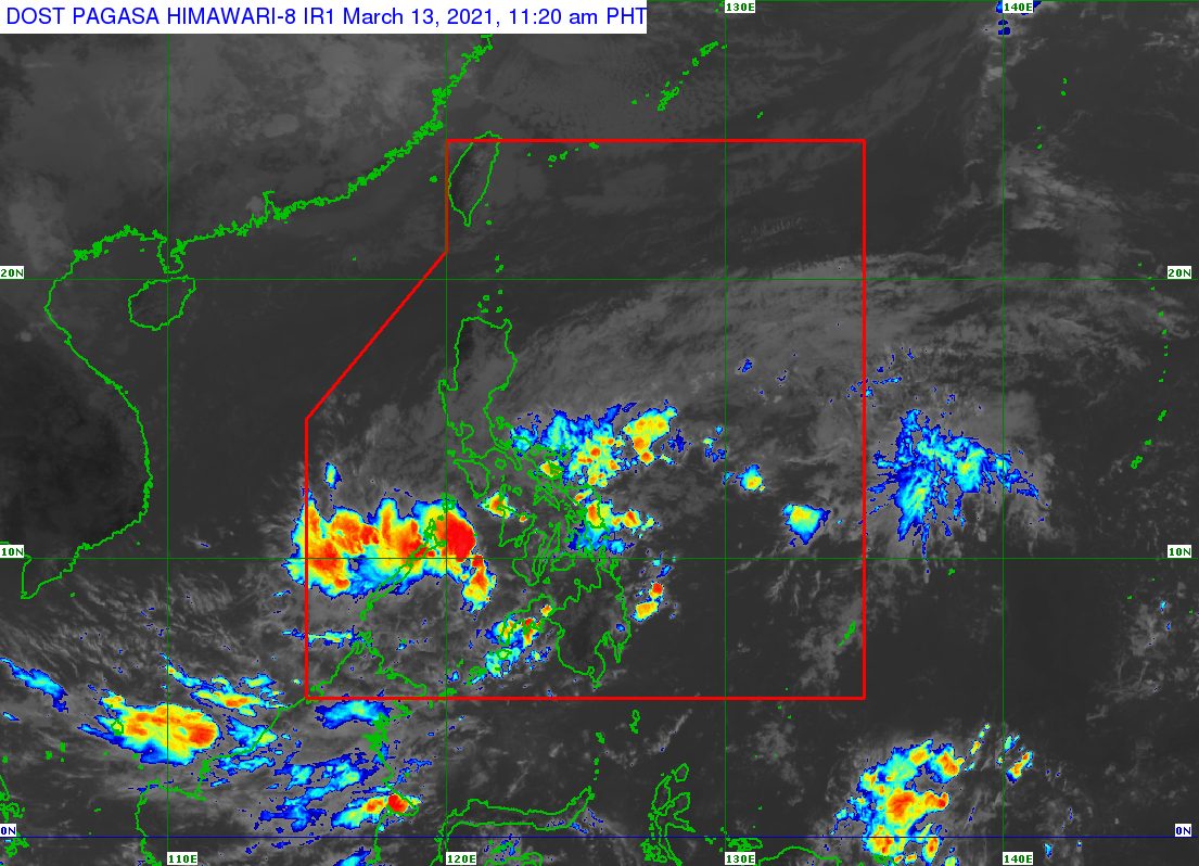
It is a rainy day in Palawan on Saturday, March 13, as residents vote in a historic plebiscite on whether the province should be divided into 3.
The rain is due to the low pressure area (LPA) located 145 kilometers east southeast of Puerto Princesa City, Palawan, on Saturday morning.
In an advisory issued 11 am on Saturday, the Philippine Atmospheric, Geophysical, and Astronomical Services Administration (PAGASA) said the LPA could cross Palawan as it moves west northwest.
Here is PAGASA’s updated rainfall forecast for Saturday:
Moderate to heavy rain
- Palawan
Light to moderate rain, with at times heavy rain
- Bicol
- Eastern Samar
- Northern Samar
- Samar
- Quezon
The state weather bureau warned affected areas to watch out for possible floods and landslides.
For now, the LPA remains “less likely to develop into a tropical depression.”
The weather disturbance previously affected parts of Mindanao and the Visayas. (READ: FAST FACTS: Tropical cyclones, rainfall advisories)
So far, the Philippines has had just one tropical cyclone in 2021 – Auring (Dujuan) in February. Auring briefly peaked as a severe tropical storm but eventually hit land as a tropical depression.
Around 20 tropical cyclones enter or form within the Philippine Area of Responsibility each year. (READ: LIST: PAGASA’s names for tropical cyclones in 2021)
For the next 6 months, these are PAGASA’s latest predictions for the number of tropical cyclones:
- March – 0 or 1
- April – 0 or 1
- May – 0 or 1
- June – 1 or 2
- July – 1 to 3
- August – 2 or 3
La Niña, which causes above normal rainfall, is still ongoing. It began in October 2020. – Rappler.com
Add a comment
How does this make you feel?
There are no comments yet. Add your comment to start the conversation.