SUMMARY
This is AI generated summarization, which may have errors. For context, always refer to the full article.
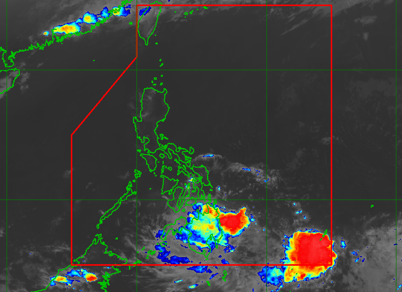
MANILA, Philippines – The country’s weather bureau was monitoring a low pressure area (LPA) embedded along the intertropical convergence zone on Saturday, March 26.
The Philippine Atmospheric, Geophysical, and Astronomical Services Administration (PAGASA) said in an advisory issued 7 pm on Saturday that the LPA was last spotted 390 kilometers east northeast of General Santos City or 310 kilometers east of Davao City.
It is “less likely” to develop into a tropical depression in the next 24 hours.
But PAGASA warned Mindanao and parts of the Visayas to expect rain from the LPA during that period.
Moderate to heavy rain
- Caraga
- Davao Oriental
- Davao de Oro
- Davao del Norte
- Davao City
- Misamis Oriental
- Bukidnon
Light to moderate rain, with at times heavy rain
- rest of Mindanao
- Bohol
- Southern Leyte
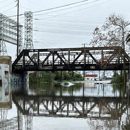
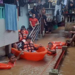
The weather bureau said scattered flash floods and landslides are likely.
Other parts of the country are not affected by the LPA, but could have isolated rain or thunderstorms due to the easterlies. The easterlies are warm winds from the Pacific Ocean. – Rappler.com
Add a comment
How does this make you feel?
There are no comments yet. Add your comment to start the conversation.