SUMMARY
This is AI generated summarization, which may have errors. For context, always refer to the full article.
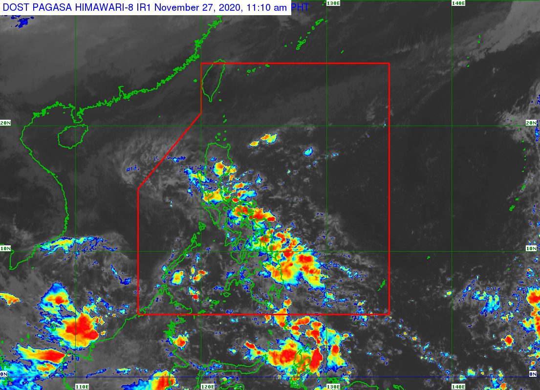
The low pressure area (LPA) inside the Philippine Area of Responsibility (PAR) dissipated at 9 am on Friday, November 27.
But in an advisory issued 11 am on Friday, the Philippine Atmospheric, Geophysical, and Astronomical Services Administration (PAGASA) said the tail-end of a frontal system, or shear line, and the easterlies, or warm winds coming from the Pacific Ocean, are affecting parts of the country.
In particular, scattered rain and thunderstorms are expected to continue in the following areas on Friday:
- Cagayan
- Isabela
- Nueva Vizcaya
- Quirino
- Aurora
- Metro Manila
- Calabarzon
- Bicol
- Eastern Visayas
- Caraga
- Davao Region
PAGASA warned that there may be “isolated flooding,” including flash floods, as well as landslides, especially in areas prone to these hazards.
“The public and disaster risk reduction and management offices are still advised to continue monitoring for updates,” the state weather bureau said.
No new potential tropical cyclones have been spotted inside or outside PAR, as of Friday morning. (READ: FAST FACTS: Tropical cyclones, rainfall advisories)
The Philippines’ last tropical cyclone was Typhoon Ulysses (Vamco), which left at least 73 people dead in Luzon two weeks ago. About a third of the fatalities were from the region of Cagayan Valley.
Ulysses was the Philippines’ 21st tropical cyclone for 2020, already above the yearly average of 20.
In December, up to 2 more tropical cyclones are seen to form inside or enter PAR. (READ: LIST: PAGASA’s names for tropical cyclones in 2020)
La Niña has been underway since October, causing more rain than usual in the country.
The northeast monsoon or hanging amihan also began in November, bringing cold temperatures. – Rappler.com
Add a comment
How does this make you feel?
There are no comments yet. Add your comment to start the conversation.