SUMMARY
This is AI generated summarization, which may have errors. For context, always refer to the full article.
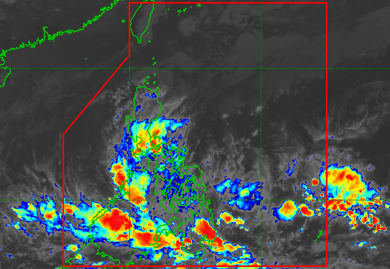
MANILA, Philippines – The low pressure area (LPA) off Mindanao and the shear line were affecting parts of the Philippines on Tuesday, April 5, with more rain expected in the evening.
The LPA was last spotted 260 kilometers east northeast of Davao City on Tuesday afternoon, bringing moderate to heavy rain to the Visayas and Mindanao.
The Philippine Atmospheric, Geophysical, and Astronomical Services Administration (PAGASA) said the LPA still has only a slim chance of developing into a tropical cyclone in the next 24 hours, but the possibility is not being ruled out.
PAGASA earlier said there could be zero to one tropical cyclone in April. The country has yet to have its first tropical cyclone for 2022.
The shear line, meanwhile, is affecting the southern and central parts of Luzon, particularly the following regions:
- Metro Manila
- Central Luzon
- Calabarzon
- Mimaropa
- Bicol
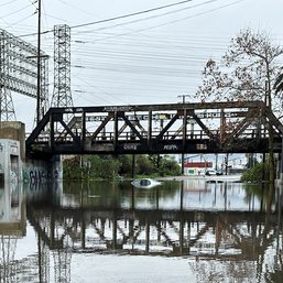
PAGASA said scattered to widespread rain and thunderstorms will persist in areas affected by either the LPA or the shear line.
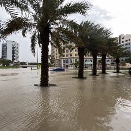
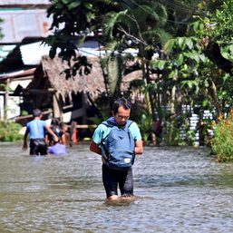
The weather bureau warned residents to watch out for possible flash floods or landslides, especially during periods of moderate to heavy rain.
Meanwhile, the northeasterly surface windflow will cause isolated rain in the rest of Luzon, but there will be “no significant impact,” PAGASA said. – Rappler.com
Add a comment
How does this make you feel?

There are no comments yet. Add your comment to start the conversation.